Material Tracking using Drones
Overview
Material Tracking using Drones provides continuous visibility of construction materials from site entry to final utilization. High-resolution aerial mapping and AI-based material recognition enable real-time monitoring of material stockpiles, storage zones, and consumption patterns—preventing stockouts, pilferage, over-ordering, and wastage. This application establishes a digital material inventory layer that supports procurement planning, billing verification, and logistics coordination.
Process Flow
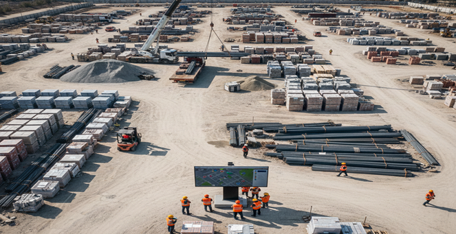
Reference Image
Relevant Outcomes / Deliverables
| Deliverable | Format | Usage |
|---|---|---|
| Stockpile Volume Reports | PDF / CSV | Material quantity verification |
| Material Location Maps | GeoTIFF / SHP | Storage layout and optimization |
| Consumption Trend Reports | Procurement forecasting and planning | |
| Material Audit Report | PDF / CSV | Billing validation and inventory reconciliation |
Achievable Accuracy
| Parameter | Typical Accuracy | Depends On |
|---|---|---|
| Volume Estimation Accuracy | ±3–5% | GSD, image overlap, and model quality |
| Positional Accuracy | ±2–4 cm | RTK positioning and GCP layout |
| Material Boundary Detection | ±5–10 cm | Image resolution and AI segmentation accuracy |
Key Advantages
- Prevents material shortages and stockouts
- Reduces wastage, pilferage, and over-ordering
- Improves billing accuracy and inventory transparency
- Enables data-driven procurement and logistics planning
- Enhances overall site organization and material control
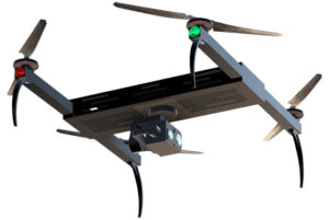
Compatible Drone Platforms
- Mapping Quadcopters
- VTOL Long-Endurance UAVs
- Enterprise Survey Drones
Supported Sensors / Payloads
- High-Resolution RGB Cameras
- RTK GNSS Modules
Industry Segments Benefited
- Construction
- Infrastructure
- Mining
- Real Estate
- Smart Cities