
Education & Research
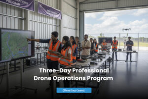
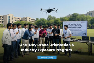

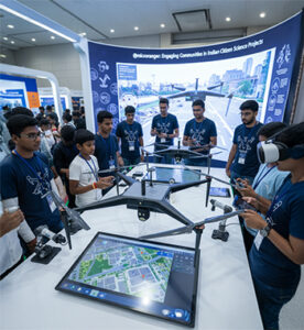
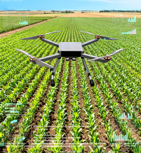
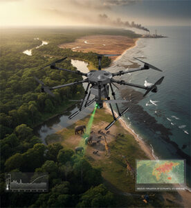
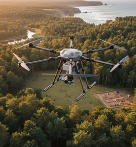
The integration of drone technology in education and research is unlocking new dimensions of learning and innovation. From STEM education and environmental studies to advanced engineering and data analytics, drones provide a hands-on experiential platform for understanding real-world systems. Universities, research institutions, and training centers use drones for aerial mapping, climate observation, agriculture research, and infrastructure modeling — bridging theory with practical application.
At AKSI Group, our UAV solutions empower educators and researchers to explore, experiment, and innovate using real-time data and aerial intelligence.
Key Features
STEM Learning Enablement
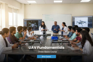
Provides hands-on experience in aerodynamics, coding, AI, and robotics, enhancing classroom learning with practical exposure.
High-Resolution Data Collection
Captures precise aerial imagery and geospatial data for environmental, agricultural, and structural research applications.
Customizable Research Platforms
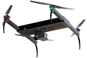
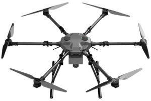
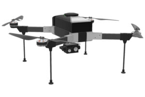
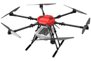
Modular drone systems allow integration of specialized sensors, payloads, and experiment-specific components.
AI & Data Analytics Integration
Enables machine learning-based data interpretation and visualization for scientific research and predictive modeling.
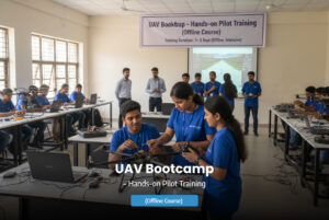
Safe & Controlled Training Environments
Designed for indoor and outdoor drone operation training with safety protocols and controlled flight parameters.
Remote Collaboration & Cloud Access
Cloud-based data sharing supports collaborative research and cross-institutional knowledge exchange.
Multi-Disciplinary Applications
Suitable for studies in geography, engineering, agriculture, environmental science, and urban development.
Simulation & Training Software
Integrated flight simulation systems prepare students and researchers for real-world drone operations.
Key Features
- Drone-based STEM and engineering education programs
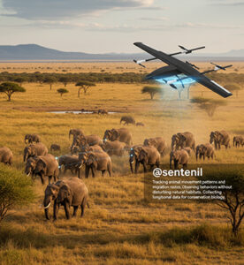
- Environmental and climate monitoring research
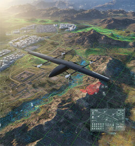
- Geospatial mapping and topographic modeling studies
- Agricultural and ecological field data collection
- Disaster management and public safety training simulations
- Drone design and AI-powered automation research
- Remote sensing and photogrammetry learning modules
- Collaborative international research initiatives using UAV data