
Transforming Real Estate with Aerial Intelligence
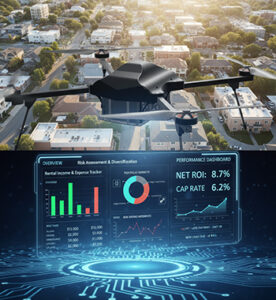
In the real estate industry, drones are reshaping how properties are visualized, inspected, and marketed.High-resolution aerial imaging and intelligent analytics enable developers, architects, and buyers to view properties from new perspectives — enhancing accuracy, efficiency, and engagement. From large-scale land surveys to 360° virtual tours, drones deliver data and visuals that make real estate smarter, faster, and more reliable.
Key Features
Aerial Photography & Videography
Captures stunning, high-definition visuals of properties and construction sites for marketing, sales, and project documentation.
Land Mapping & Surveying
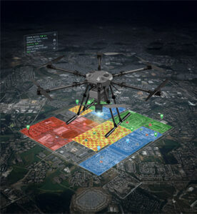
Provides precise geospatial data and topographical mapping for urban planning, land development, and property boundary validation.
3D Modeling & Digital Twins
Generates 3D terrain models and structure reconstructions that help architects and builders visualize projects before execution.
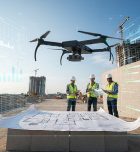
Construction Site Monitoring
Tracks progress, materials, and workforce activity in real-time, enabling better project management and on-time delivery.
Visual Inspections & Safety Audits
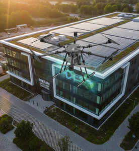
Conducts non-intrusive inspections of tall buildings, rooftops, and hard-to-reach areas to ensure structural integrity and compliance.
Data Analytics & Reporting
Transforms captured imagery into actionable insights for investors, property managers, and urban planners.
Virtual Tours & Interactive Media
Creates immersive property showcases with aerial perspectives, enhancing buyer engagement and sales conversion rates.
Environmental & Zoning Analysis
Assesses terrain, vegetation, and environmental factors to support sustainable and regulation-compliant development.
Key Benefits
- Aerial photography and video for residential and commercial property marketing
- Land surveying, mapping, and plot boundary analysis
- Construction progress monitoring and inspection
- Generating 2D/3D maps for architectural and urban design projects
- Visual inspections of rooftops, facades, and infrastructure
- Enhancing buyer and investor presentations with aerial media
- Site suitability and environmental impact assessments