
Dispute Resolution and Evidence Collection using Drones
Overview
Dispute Resolution and Evidence Collection using Drones provides unbiased, time-stamped, and georeferenced aerial documentation during disputes related to land boundaries, construction progress, safety violations, and environmental damage. Drone evidence is admissible and defensible, reducing legal ambiguity and resolution time.
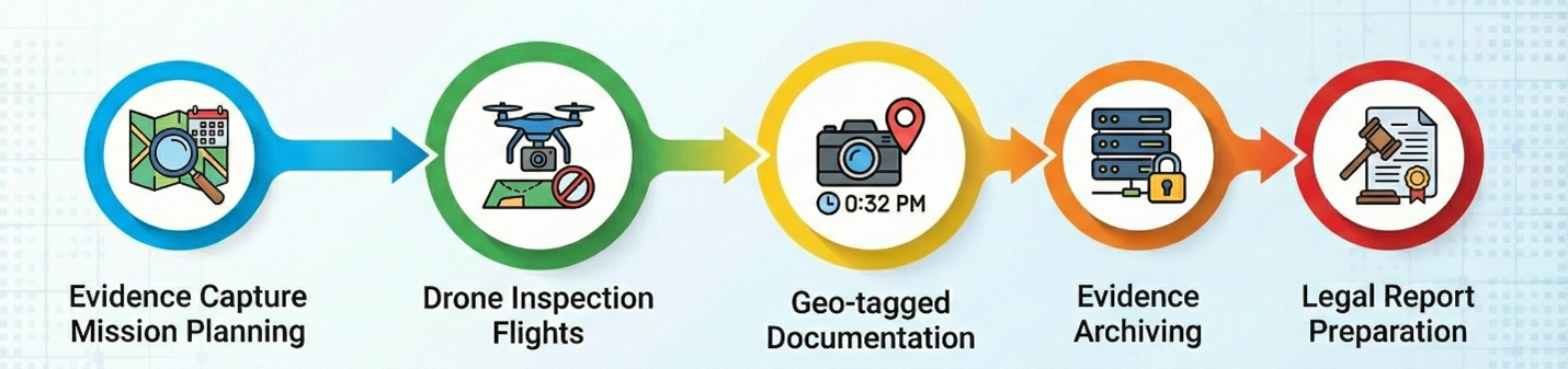
Process Flow
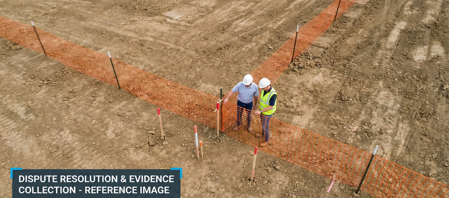
Reference Image
Relevant Outcomes / Deliverables
| Deliverable | Format | Usage |
|---|---|---|
| Geo-Tagged Evidence Images | JPG / TIFF | Legal disputes and evidentiary documentation |
| Progress Comparison Reports | Contract disputes and milestone verification | |
| Land Boundary Maps | GeoTIFF | Property conflicts and boundary clarification |
| Dispute Evidence Package | PDF / ZIP | Legal review, arbitration, and case documentation |
Achievable Accuracy
| Parameter | Typical Accuracy | Depends On |
|---|---|---|
| Positional Accuracy | ±2–4 cm | RTK positioning and GNSS signal quality |
| Evidence Integrity | 100% | Metadata capture, encryption, and secure archival workflow |
| Boundary Verification Accuracy | ±2–5 cm | GCP layout, flight planning, and geospatial processing quality |
Key Advantages
- Creates unbiased and defensible legal proof
- Speeds up dispute resolution and claim assessment
- Reduces litigation time and associated costs
- Improves legal transparency and factual clarity
Compatible Drone Platforms
- Survey UAVs
- Enterprise Quadcopters
Supported Sensors / Payloads
- High-Resolution RGB Cameras
- RTK GNSS Modules
Industry Segments Benefited
- Construction
- Infrastructure
- Real Estate
- Mining
- Smart Cities