Reforestation, Seed Dispersal and Afforestation Support using Drones
Overview
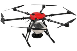
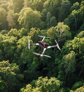
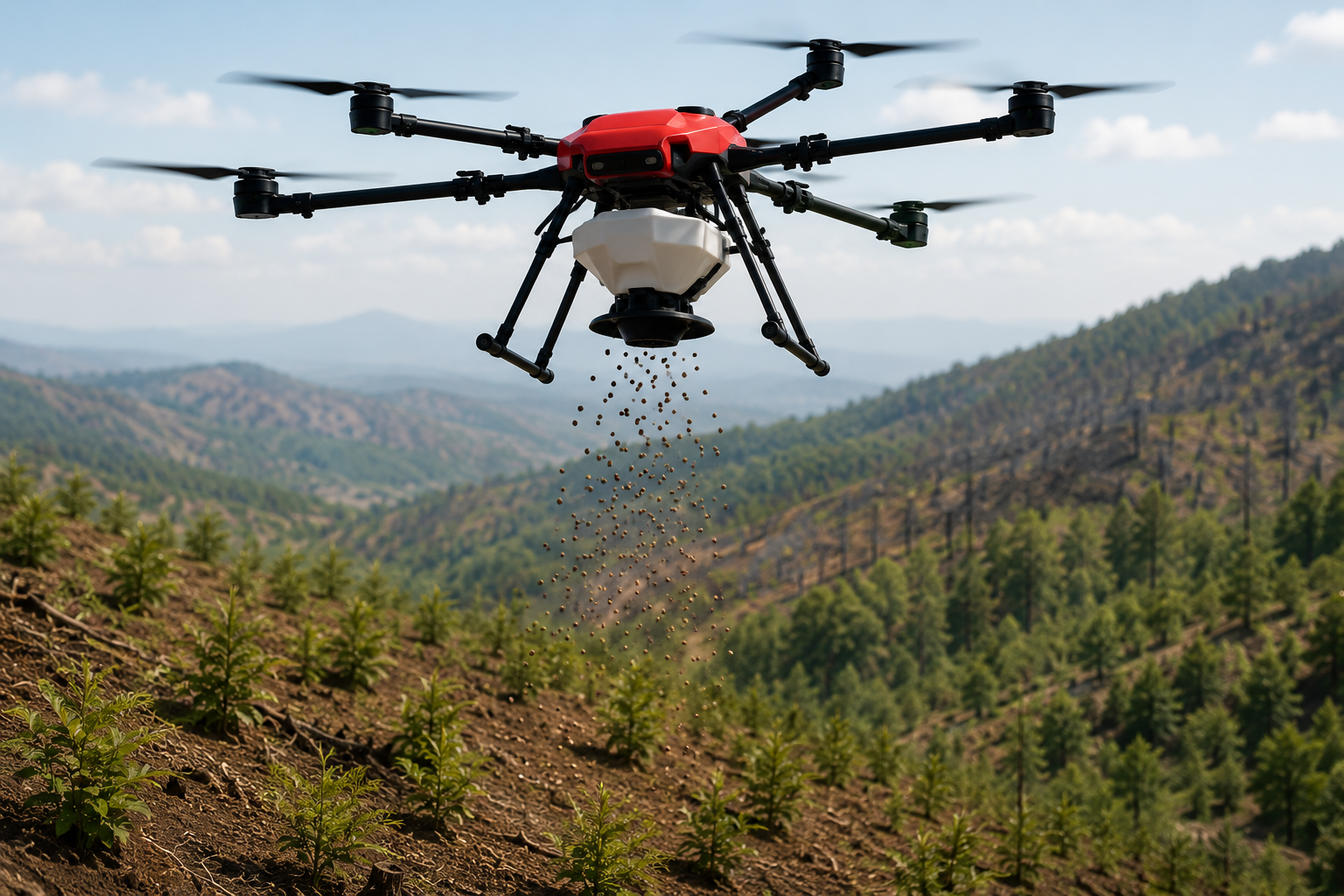
Drone-based reforestation and seed dispersal enable rapid and efficient planting across degraded or hard-to-reach terrains. Equipped with seed dispensing mechanisms, drones automate the distribution of seeds or seed pellets, significantly accelerating afforestation efforts. This approach reduces manual labor, improves coverage in inaccessible areas, and supports ecological restoration initiatives. By enabling precise, scalable, and GPS-guided planting, drones play a vital role in combating deforestation, restoring biodiversity, and promoting long-term environmental sustainability.
Process Flow
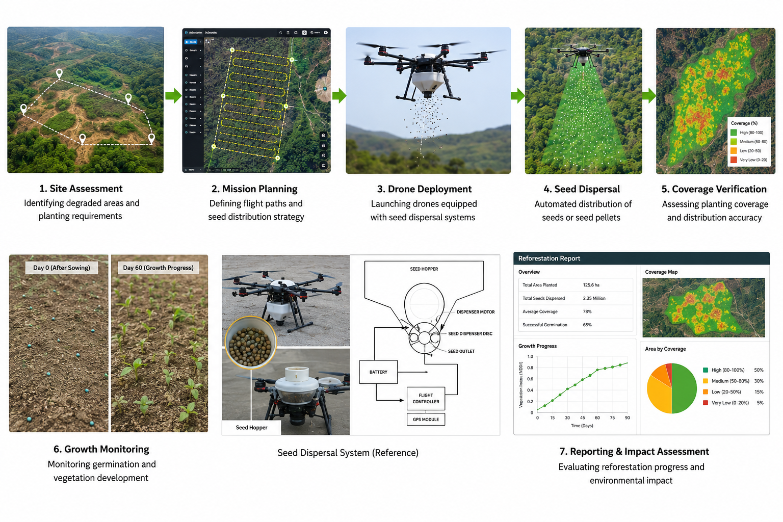
The reforestation process begins with Site Assessment and Mapping, where the target area is surveyed to identify terrain, vegetation, and suitable planting zones. The collected data is then used for Mission Planning, where optimized flight paths and seed dispersal parameters are programmed into the drone. During the Seed Dispersal Operation, the drone autonomously distributes seeds or biodegradable seed pellets across the designated area using a calibrated dispensing mechanism. GPS guidance and terrain-following capabilities ensure efficient and uniform coverage, even in difficult landscapes. Finally, Post-Plantation Monitoring is carried out to evaluate coverage, monitor germination, and assess plantation progress using aerial imagery and field reports, ensuring effective restoration and long-term environmental impact.
Reference Image
Relevant Outcomes / Deliverables
| Deliverable | Format | Usage |
|---|---|---|
| Seed Dispersal Map | GeoTIFF | Coverage tracking and plantation verification |
| Plantation Report | PDF / CSV | Afforestation progress monitoring |
| Flight Log Data | CSV | Operational tracking and mission records |
| Area Coverage Analysis | Dashboard / PDF | Planting efficiency and performance evaluation |
Achievable Accuracy
| Parameter | Typical Accuracy | Depends On |
|---|---|---|
| Seed Placement Accuracy | High | Flight control system and dispensing mechanism |
| Coverage Accuracy | ±5–10 cm | GNSS positioning and terrain-following system |
| Operational Efficiency | High | Drone payload capacity, flight planning, and terrain conditions |
Key Advantages
- Accelerates large-scale reforestation and afforestation projects
- Enables planting in remote, mountainous, and inaccessible terrains
- Reduces manual labor, time, and operational costs
- Ensures rapid coverage of large degraded landscapes
- Supports biodiversity restoration and ecological conservation
- Minimizes environmental disturbance during plantation activities
- GPS-guided autonomous flights improve planting consistency
- Provides digital mission records and plantation analytics
- Scalable for government, NGO, and climate action programs
- Promotes sustainable forestry and long-term environmental restoration
Compatible Drone Platforms
- Aranya
Supported Sensors / Payloads
- Seed Dispenser / Pellet Module
- Terrain-Following Radar
- LiDAR Sensor
- GNSS / RTK Positioning System
Industry Segments Benefited
- Forestry
- Environmental Conservation
- Government Projects
- Non-Governmental Organizations (NGOs)
- Climate Action Initiatives
No sub drone applications found for this category.