Drishti Pro
Drishti Pro – Advanced Hyperspectral Insights for Smarter Farming
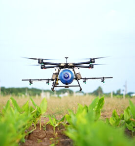
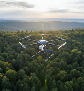
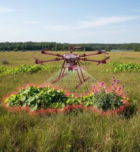
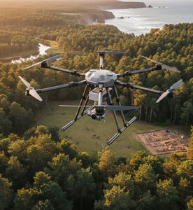
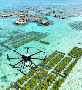
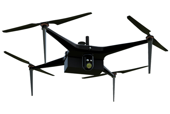
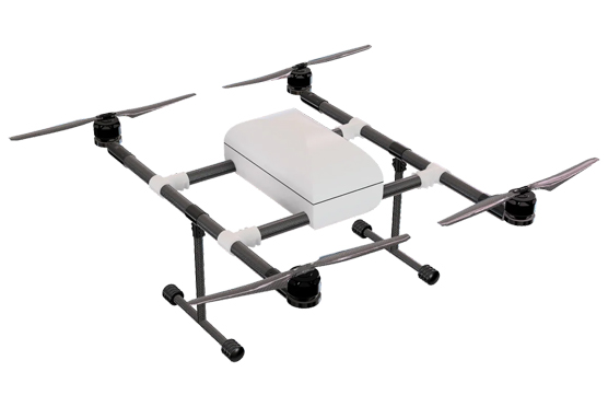
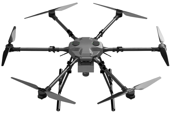
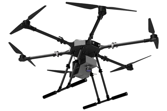
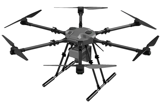
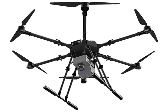
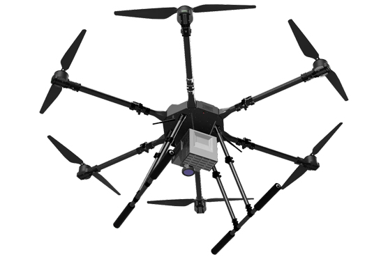
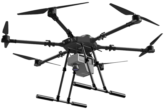
Drishti Pro is an advanced agricultural drone designed by KhetPilot to redefine crop monitoring and precision farming. Equipped with hyperspectral imaging technology, it captures detailed spectral data across hundreds of narrow wavelength bands, offering insights beyond what the human eye or standard cameras can detect. This allows early detection of nutrient deficiencies, water stress, pest attacks, and disease outbreaks, enabling timely corrective actions. With its extended flight range, stability, and high-resolution imaging, Drishti Pro ensures efficient coverage of large farmlands, providing farmers with accurate, data-driven analysis for better crop management and yield improvement.
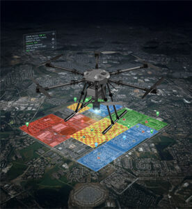
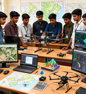
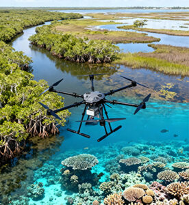
Engineered for modern precision agriculture, Drishti Pro integrates intelligent flight systems with advanced analytics to deliver actionable insights in real time. It helps optimize irrigation, fertilizer application, and pest control by identifying exactly where intervention is needed, saving resources and reducing environmental impact. Beyond traditional farming, the drone also supports research institutions and agribusinesses in large-scale vegetation mapping, soil health monitoring, and environmental assessment
Key Highlights
Description
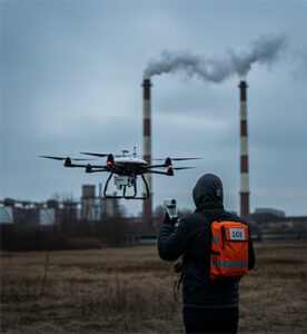
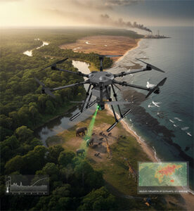
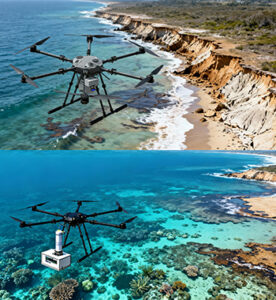
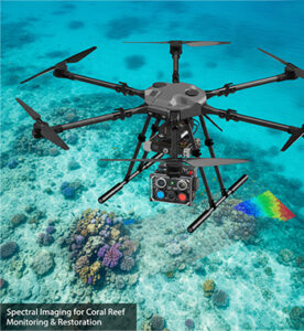
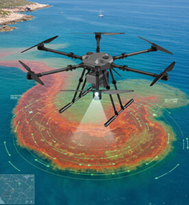
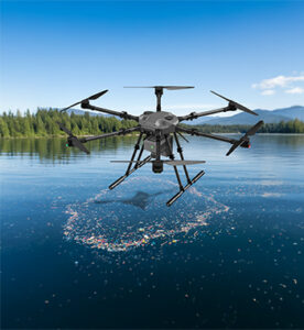
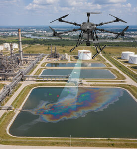
Beyond agriculture, the hyperspectral imaging capability of Drishti Pro extends to environmental and water-quality assessment, including algal bloom monitoring. Detect specific spectral signatures associated with chlorophyll and cyanobacteria, enabling early identification of harmful algal blooms in ponds, reservoirs, or irrigation channels. This real-time monitoring supports proactive water management, ensuring the health of aquatic ecosystems and preventing contamination of agricultural water sources. With its dual role in precision farming and environmental surveillance, Drishti Pro stands as a powerful tool for smarter, more sustainable land and water management.
| Parameter | Specification |
|---|---|
| Platform Type | Hexacopter |
| Max Flight Time | 55 minutes |
| Maximum Flight Range | Up to 15 kilometres |
| Max Flight Speed | 20 m/s |
| Payload Weight | 5 kg |
| Control System | Remote control with real-time feedback |
| Data Analytical Platform | Onboard processing |
| Obstacle Avoidance | Multi-directional sensors |
| Position Accuracy | 2–3 cm (GNSS RTK/PPK enabled) |
| Airframe Material | Aerospace-grade carbon-fiber and polymer composite structure |
| Flight Controller | KKA Autopilot v2 (training-mode firmware with geofencing & safety limits) |
| Flight Modes |
Manual Mode | Auto Mapping Mode | Dense Grid Survey Mode | Waypoint Mission Mode | Terrain Following Mode | Hover & Scan Mode | High-Resolution Line-Scan Mode | Return-to-Home (RTH) |
| Battery System | Smart Li-ion pack (6S, 10–12 Ah) with real-time telemetry (LiHi Energy) |
| Propulsion System | High-efficiency brushless motors + carbon propellers (AKSI Propulsion Series) |
| Telemetry & Communication | Dual-link (2.4 GHz RC + 900 MHz telemetry) with encrypted communication |
| Failsafe Functions | RTH, Low-Battery Auto Land, Geofencing, Failsafe Hover |
| Assembly & Maintenance | Tool-free assembly with modular arms and quick-swap batteries |
| Deployment Time | < 3 minutes |
| Operating Temperature Range | –10 °C to +50 °C |
| Special Features | Instructor override switch, safe flight limits, telemetry recording |
| Applications | Survey & Mapping / Agriculture / Inspection |
Key Features

Hyperspectral Imaging for precision crop monitoring and vegetation analysis

Multi-Directional Obstacle Avoidance Sensors for enhanced safety

Compact and Robust Design suitable for harsh agricultural environments

AI-Powered Image Processing for accurate anomaly and nutrient detection

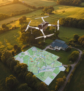
Seamless Integration with GIS Platforms for efficient field data management