Drishti
Drishti – Transforming Field Insights with Next‑Gen Agricultural Drone Intelligence
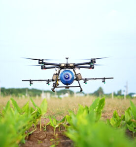
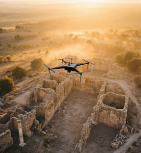
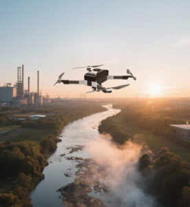
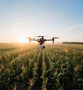
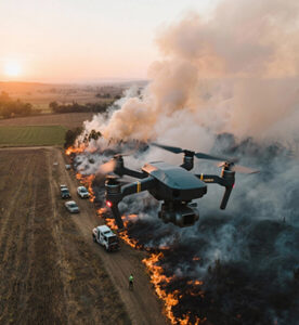
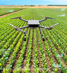
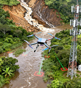
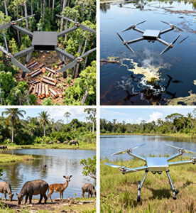
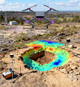
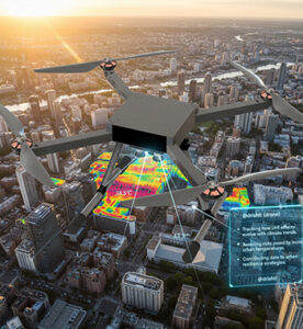
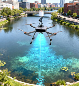
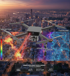
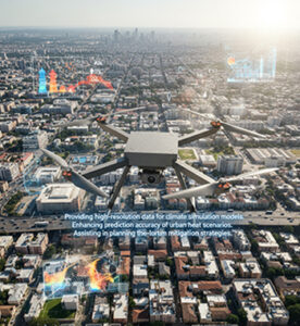
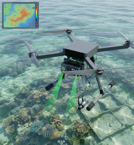
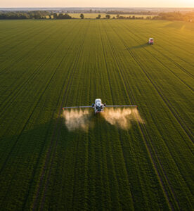
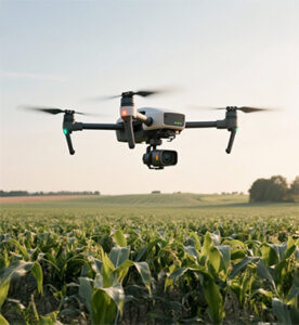
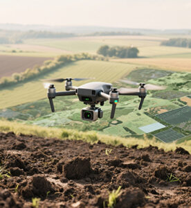
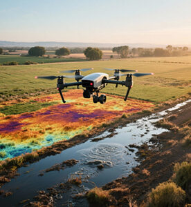
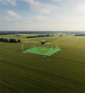
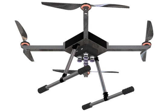
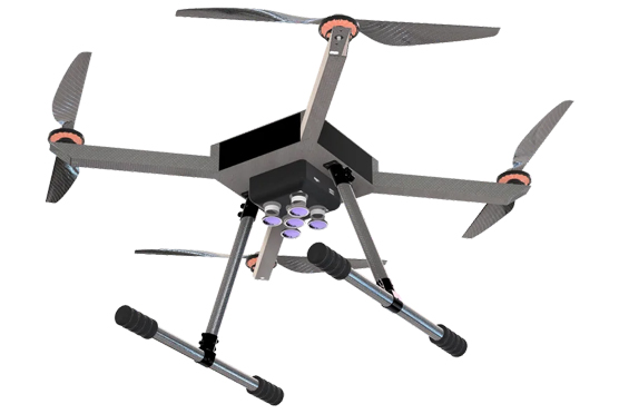
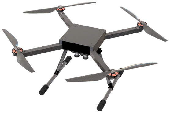
Introducing the Drishti drone — an intelligent, high-performance aerial platform specifically designed for precision agriculture and crop health monitoring. Equipped with a cutting-edge multispectral camera system, Drishti captures detailed spectral data beyond visible light, enabling you to uncover subtle signs of plant stress, nutrient deficiency, water imbalance and early pest or disease and measures vegetation indices such as NDVI (Normalized Difference Vegetation Index) and NDRE (Normalized Difference Red Edge) to assess crop vigor, Tracks soil moisture, deforestation, and land degradation. Used for water quality analysis, such as detecting suspended sediments or organic matter in water bodies. It identifies tree species, estimates canopy density, and monitors forest health over time. Helps in analyzing flood damage, drought stress, or post-fire vegetation recovery. With this enhanced perspective, farmers and agronomists gain actionable insights, enabling timely and targeted interventions that support healthier crops and stronger yields.
Key Highlights
Description
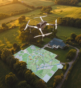
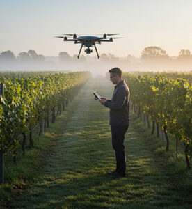
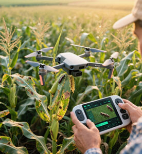
Drishti is engineered for real-world field environments, offering reliable performance, ease of deployment, and seamless integration into existing farm workflows. Whether you’re managing row crops, orchards, vineyards or mixed-use farms, this drone helps you map and monitor large areas with efficiency and precision. By converting aerial spectral data into intuitive visual maps and analytics, Drishti enables smarter decisions on irrigation, fertilization, pest-control and harvest planning—letting you optimise input use, reduce waste and elevate productivity. In essence, Drishti is not just a flying drone; it’s a data-driven farm intelligence tool designed to bring next-level crop management into your hands.
| Specification | Details |
|---|---|
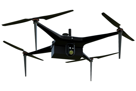
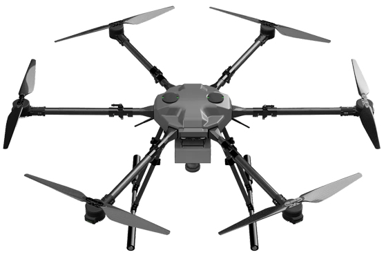
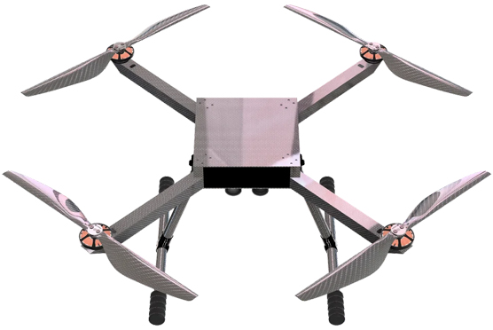
| Platform Type | Quadrotor |
| Max Flight Time | 70 minutes |
| Control Range | Up to 5 kilometres |
| Max Flight Speed | 20 m/s |
| Payload Weight | 1 kg |
| Obstacle Avoidance | Multi-directional sensors |
| Control System | Remote control with real-time feedback |
| Max Takeoff Weight (MTOW) | 4 kg |
| Airframe Material | Aerospace-grade carbon-fiber composites (RoboClave) |
| Position Accuracy | 2–3 cm (GNSS RTK/PPK enabled) |
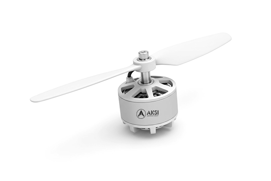
| Propulsion System | Brushless motors + carbon propellers (AKSI Propulsion) |
| Flight Controller | KKA Autopilot (DroneVation proprietary) |
| Flight Modes | Stabilize / Loiter / Auto / RTL / Position Hold |
| Advanced Flight Modes | Manual Mode | Auto Mapping Mode | Grid Survey | Waypoint | Terrain Follow | Orbit/POI | Hover & Capture | RTH |
| Navigation | Standard GNSS (not intended for mapping) |
| Telemetry & Communication | Dual-link (2.4 GHz + 900 MHz) with AES encryption |
| Failsafe Functions | RTH, Low-Battery Auto Land, Geofencing, Hover Failsafe |
| Battery System | Smart Li-ion pack (38.5 Ah, 14S) with real-time telemetry |
| Take-off / Landing | Fully autonomous / manual override / mission resume |
| Operating Temperature | –10 °C to +50 °C |
| Deployment Time | < 3 minutes (tool-free assembly) |
| Applications | Survey & Mapping / Agriculture / Inspection |


Key Features

Multispectral imaging for precise crop analysis

Seamless Post-Processing Software Integration for streamlined workflow.

Water Stress Detection for pinpointing areas needing irrigation

Redundant Systems for reliable performance

Compact Design for easy transport and deployment.