
Stockpile Volume Measurement & Earthwork Estimation
Overview
Drone-based volumetric surveys enable precise calculation of stockpile and excavation volumes in construction, quarrying, and mining sites. Using high-resolution imagery and photogrammetry, drones produce accurate 3D surface models to estimate material quantities. This method replaces manual or ground-based volume surveys with safer, faster, and highly accurate alternatives.
Process Flow

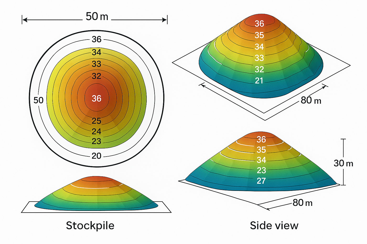
Reference Image

Relevant Outcomes / Deliverables
| Deliverable | Format | Usage |
|---|---|---|
| Volume Report | PDF / CSV | Inventory tracking |
| 3D Surface Model | OBJ / LAS | Visualization |
| Orthomosaic Map | GeoTIFF | Area reference |
| Cut/Fill Analysis | DXF / SHP | Earthwork estimation |
Achievable Accuracy
| Parameter | Typical Accuracy | Depends On |
|---|---|---|
| Volume Accuracy | ±3–5% | Surface texture, overlap |
| Horizontal Accuracy | ±3 cm | RTK/GCP integration |
Key Advantages
- Eliminates manual errors in stockpile measurement
- Safe and contactless data collection
- Accurate audit-ready reports
- Enables time-series change tracking
Compatible Drone Platforms
- Multirotor (Skywing90)
- VTOL (Sentinel)
Supported Sensors / Payloads
- RGB / Photogrammetry/LiDAR Cameras
Industry Segments Benefited
- Construction
- Quarrying
- Mining
- Logistics
- Material Management
Industry Segments Benefited
LiDAR mapping of a 50 km powerline corridor in Gujarat achieved 4 cm vertical accuracy, identifying 23 vegetation encroachments and optimizing trimming schedules.