Topographic Surveys using Drones
Overview
Topographic drone surveys enable rapid and accurate mapping of terrain elevation, contours, and surface features.By capturing overlapping aerial imagery and processing it through photogrammetry or LiDAR, drones generate detailed Digital Elevation Models (DEMs) and contour maps essential for construction, infrastructure planning, and land development. This method dramatically reduces field time while improving precision compared to traditional total-station or GPS surveys.
Process Flow
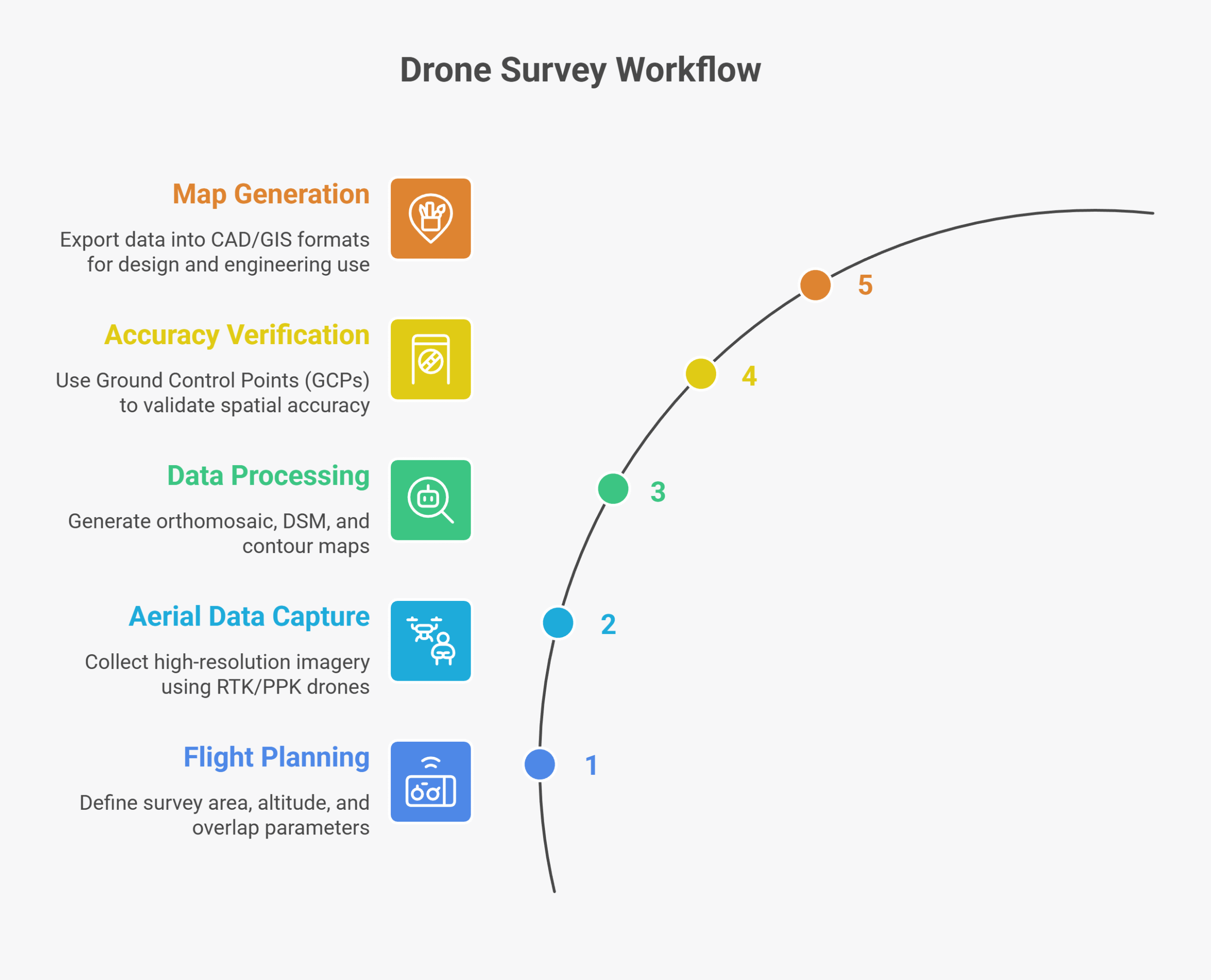
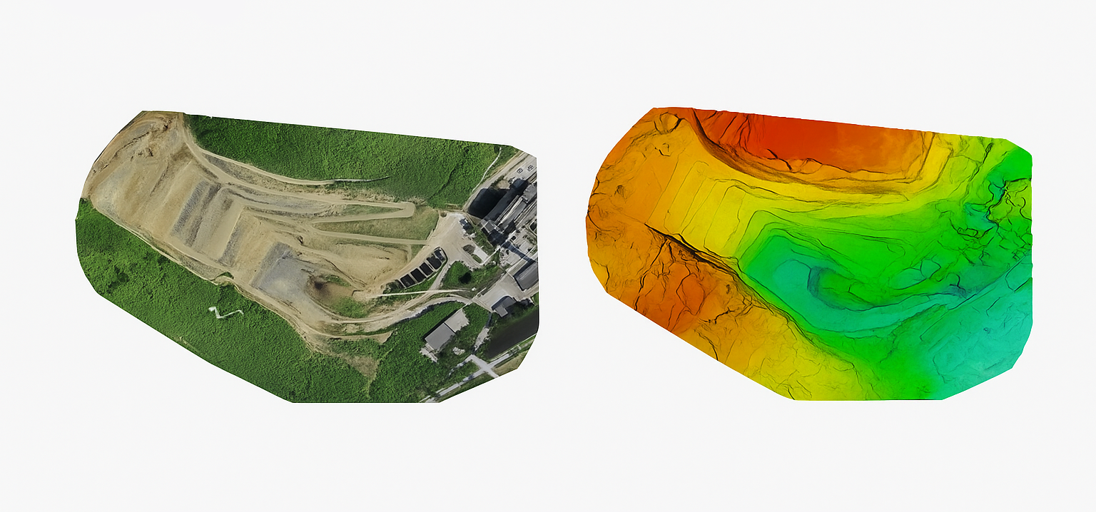
Reference Image
Relevant Outcomes / Deliverables
| Deliverable | Format | Usage |
|---|---|---|
| Orthomosaic Map | GeoTIFF | Base map for design |
| DSM / DTM | LAS / GeoTIFF | Elevation and slope analysis |
| Contour Map | DWG / SHP | Engineering design reference |
| Survey Report | PDF / CSV | Project documentation |
Achievable Accuracy
| Parameter | Typical Accuracy | Depends On |
|---|---|---|
| Horizontal Accuracy | ±2–3 cm | RTK/PPK setup, GCPs |
| Vertical Accuracy | ±5 cm | Terrain, sensor calibration |
Key Advantages
- 10× faster than traditional ground surveys
- Eliminates human error and site revisit cost
- Highly accurate elevation and contour data
- Compatible with CAD & GIS platforms
Compatible Drone Platforms
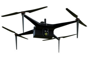
- Multirotor (Skywing90)
- VTOL Hybrid (Sentinel)
Supported Sensors / Payloads
- RGB Cameras (20–45 MP)
- LiDAR (optional for dense vegetation areas)
Industry Segments Benefited
- Urban Planning
- Road & Rail Projects
- Real Estate Development
- Irrigation Projects