Regular Aerial Updates using Drones
Overview
Regular Aerial Updates deliver high-frequency visual intelligence through scheduled weekly or monthly drone flights, enabling management teams to monitor construction progress, safety compliance, and site utilization in near real time. This application replaces manual reporting with objective, measurable, and verifiable visual data, ensuring transparent project tracking and improved operational control.
Process Flow
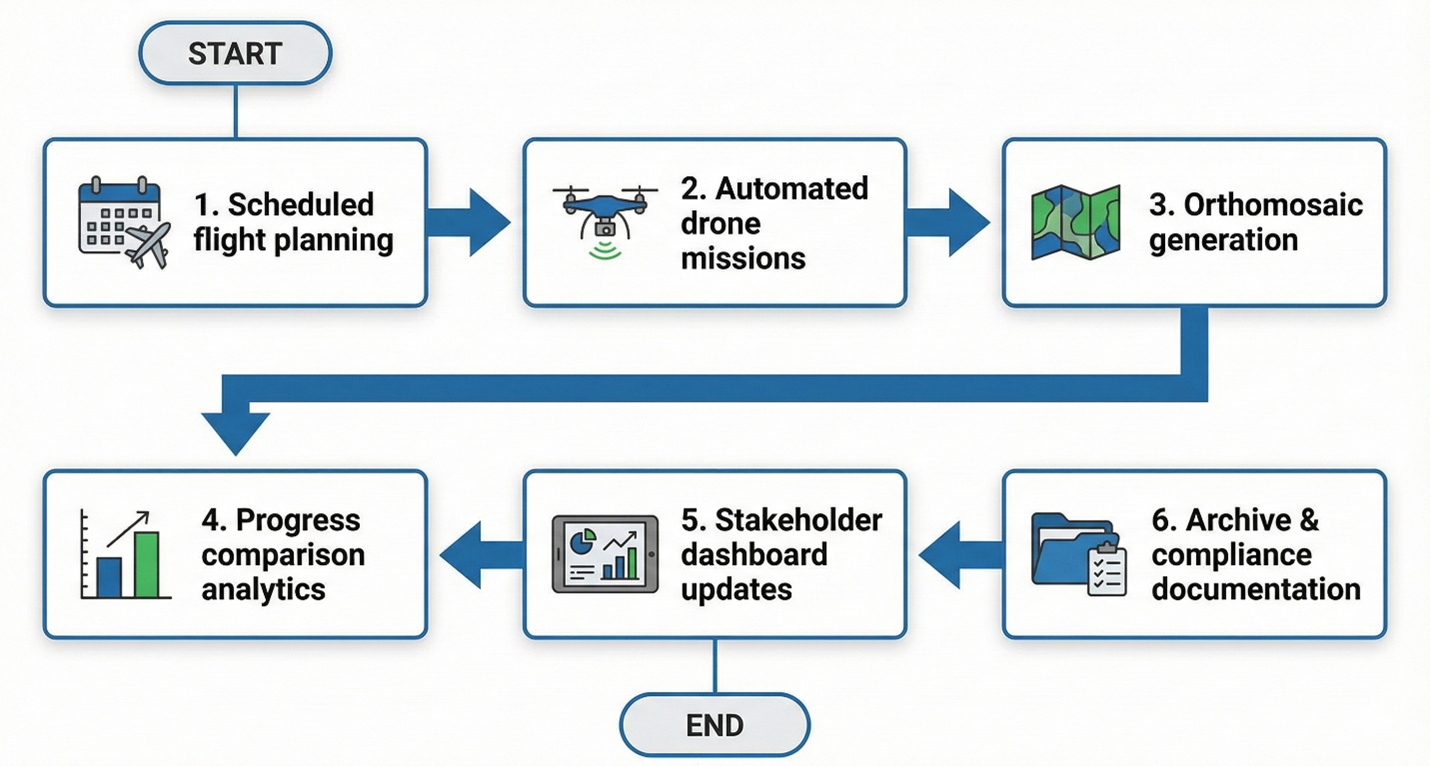
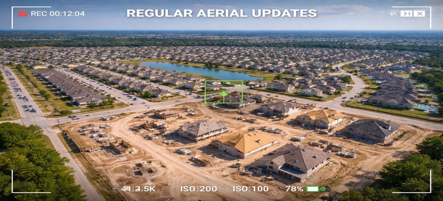
Reference Image
Relevant Outcomes / Deliverables
| Deliverable |
Format |
Usage |
| Time-Series Orthomosaics |
GeoTIFF |
Visual progress tracking and milestone validation |
| 3D Site Models |
OBJ / SKP |
Construction stage analysis and volumetric assessment |
| Site Change Logs |
PDF |
Weekly or monthly reporting documentation |
Achievable Accuracy
| Parameter |
Typical Accuracy |
Depends On |
| Horizontal Accuracy |
±1.5–3 cm |
RTK positioning and image overlap |
| Vertical Accuracy |
±2.5–5 cm |
Terrain conditions and Ground Control Points (GCPs) |
Key Advantages
- Eliminates blind spots in project monitoring
- Provides near real-time site intelligence
- Improves schedule adherence and transparency
- Enhances safety compliance and accountability
- Reduces costly rework through early issue detection
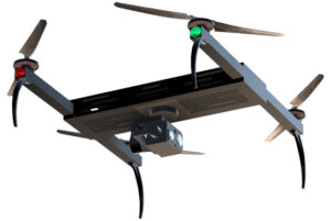
Compatible Drone Platforms
- Skywing90
- Sentinel VTOL
- Compact Enterprise UAVs
Supported Sensors / Payloads
- RGB Cameras
- Thermal Sensors
- RTK GNSS Modules
Industry Segments Benefited
- Construction
- Infrastructure
- Oil & Gas
- Renewable Energy
- Smart Cities