Pre-Construction Analysis using Drones
Overview
In the modern infrastructure lifecycle, Pre-Construction Analysis using Drones serves as the critical intelligence layer that bridges the gap between conceptual design and physical reality. By deploying Unmanned Aerial Vehicles (UAVs) equipped with high-resolution sensors and LiDAR technology, project teams can conduct comprehensive site characterizations with unprecedented speed and accuracy. This application transforms traditional surveying into a high-fidelity Reality Capture process, providing the data necessary to de-risk investments, ensure environmental compliance, and establish a precise digital baseline for the construction phases to follow.
Process Flow
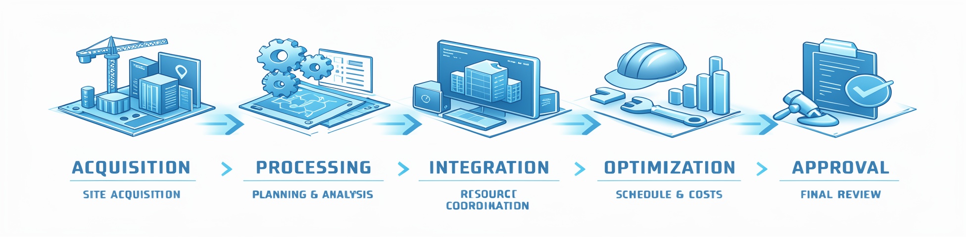
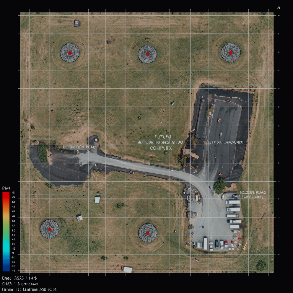
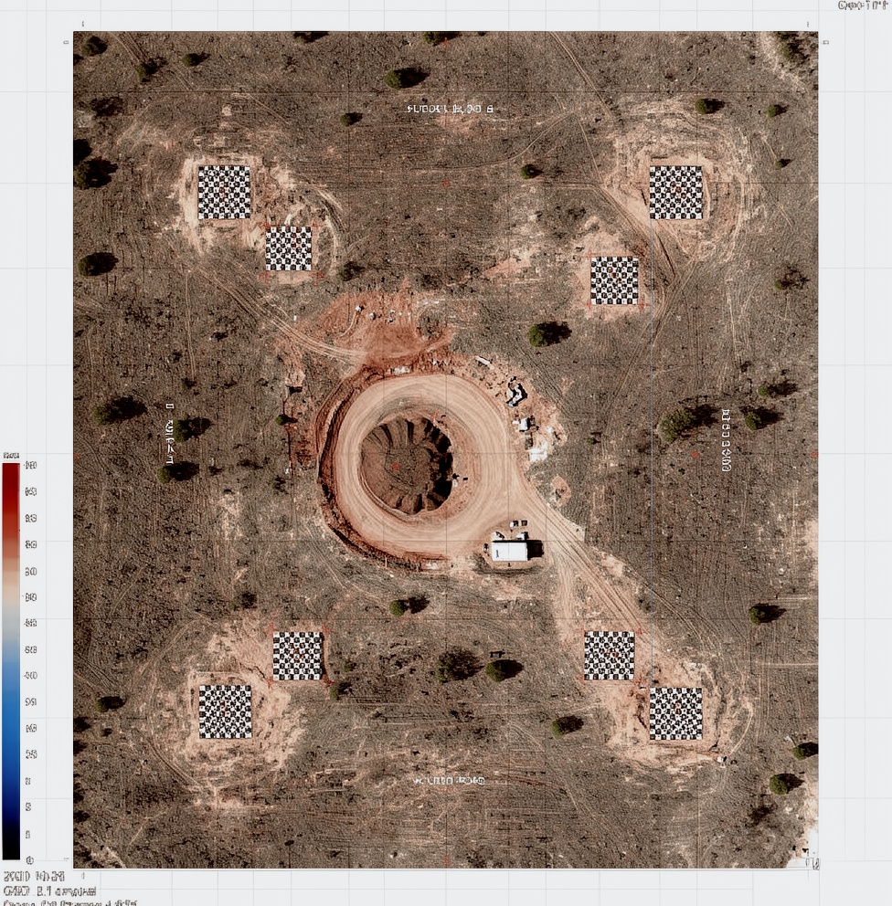
Reference Image
Relevant Outcomes / Deliverables
| Deliverable | Format | Usage |
|---|---|---|
| Orthomosaic Map | GeoTIFF | Precise site mapping, measurements, and baseline documentation |
| DSM (Digital Surface Model) | GeoTIFF (.tif) | Initial site visualization and identification of surface obstructions |
| Contour Map | DWG / SHP | Drainage analysis, grading plans, and slope stability assessment |
| Survey Report | PDF / CSV | Comprehensive project documentation and compliance record |
| Digital Terrain Model (DTM) | GeoTIFF / DXF | Cut/fill calculations and earthwork volume estimates |
| 3D Point Cloud | LAS / LAZ | CAD/BIM integration for architectural and structural design |
Achievable Accuracy
| Parameter | Typical Accuracy | Depends On |
|---|---|---|
| Horizontal Accuracy | ±1.5–3 cm | GSD, image overlap, and sensor resolution |
| Vertical Accuracy | ±2.5–5 cm | Flight altitude, GCP density, and ground cover conditions |
Key Advantages
- Provides centimeter-accurate geospatial data
- Generates 3D terrain models that eliminate site “unknowns”
- Significantly faster than traditional ground surveying
- Enables precise volumetric calculations and early clash detection
- Helps prevent budget overruns before mobilization begins
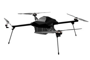
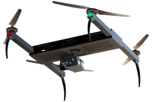
Compatible Drone Platforms
- Workhorses (Skywing90)
- VTOL (Sentinel)
- Autonomous & Secure Systems
Supported Sensors / Payloads
- High-resolution RGB Cameras (20–45 MP)
- LiDAR (Essential for terrain mapping beneath vegetation cover)
Industry Segments Benefited
- Civil Engineering & Infrastructure
- Energy & Utilities
- Real Estate & Land Development
- Mining & Quarrying
- Environmental & Conservation Projects