Aerial Documentation & Digital Handover Packages
Overview
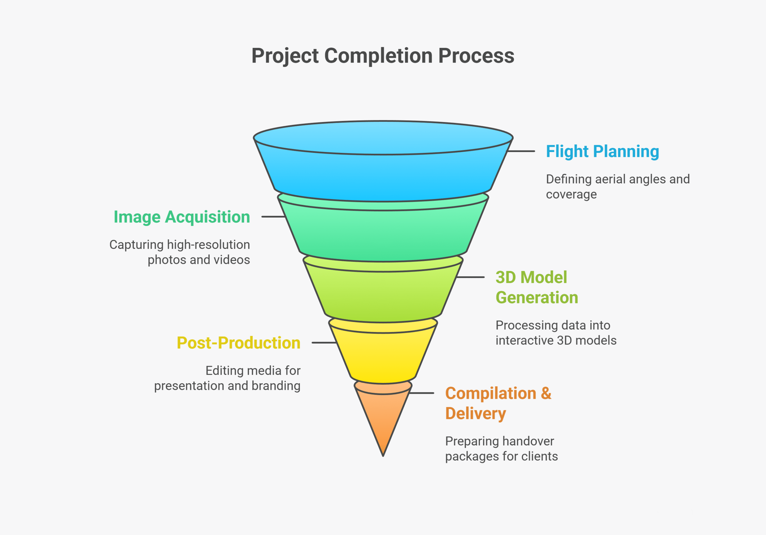
Drone-based client handover documentation provides a complete visual and spatial record of project completion.Aerial imagery, videos, and 3D models capture the finished site in remarkable detail, forming part of the final deliverables to clients, investors, or regulatory authorities. This creates a permanent, audit-ready, and visually rich record showcasing the quality, scale, and accuracy of the completed infrastructure.
Process Flow
Relevant Outcomes / Deliverables
| Deliverable | Format | Usage |
|---|---|---|
| Aerial Photographs | JPG / PNG | Project archive & presentation |
| 4K Video Tour | MP4 | Client presentation & marketing |
| 3D Model / Digital Twin | OBJ / GLTF / Web Viewer | Interactive visualization |
| Final Documentation Report | Official handover record |
Achievable Accuracy
| Parameter | Typical Accuracy | Depends On |
|---|---|---|
| Visual Accuracy | Photorealistic (1 cm/pixel) | Camera quality and flight altitude |
| Geospatial Accuracy | ±5 cm (optional RTK) | GPS and GCP integration |
Key Advantages
- Professional visual handover for clients and investors
- Permanent digital record for future reference
- Enhances transparency and brand value
- Supports regulatory and contractual documentation
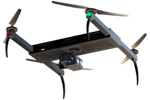
Compatible Drone Platforms
- Multirotor with stabilized gimbal cameras (Skywing90)
- FPV drones (optional) for dynamic fly-through videos
Supported Sensors / Payloads
- High-Resolution RGB Cameras (20–48 MP)
- Cine-grade Video Cameras (4K / 6K)
Industry Segments Benefited
- Construction Developers
- Real Estate Companies
- Infrastructure Consultants
- Government Projects