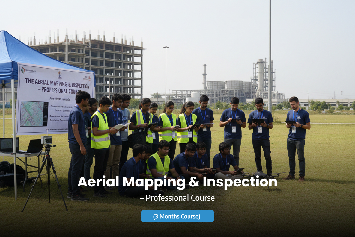
Aerial Mapping & Inspection – Professional Course
The Aerial Mapping & Inspection – Professional Course is an advanced training program designed to equip participants with the technical and operational expertise required to perform high-accuracy drone-based mapping and industrial inspections. This course focuses on data acquisition, mission planning, safety compliance, and professional reporting standards used across infrastructure, construction, utilities, and industrial sectors.
Key Highlights
Description
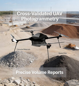
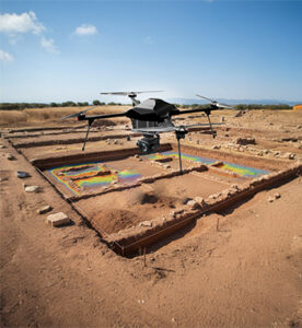
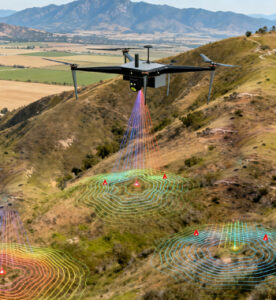
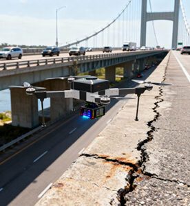
Participants learn end-to-end aerial mapping workflows, including flight planning, ground control points (GCPs), image overlap optimization, and data capture techniques for photogrammetry and inspection missions. The program also covers visual, thermal, and sensor-based inspections, enabling learners to detect defects, anomalies, and structural issues efficiently and safely.
Strong emphasis is placed on regulatory compliance, risk management, and operational best practices, ensuring that all missions align with aviation safety standards. Learners are trained to generate professional-grade outputs, such as orthomosaics, 3D models, elevation data, inspection reports, and actionable insights for clients and stakeholders.
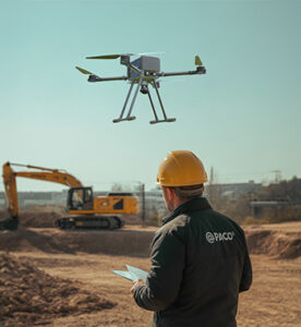
This course is ideal for surveyors, engineers, drone pilots, GIS professionals, and enterprise UAV operators seeking to specialize in commercial mapping and inspection applications and advance their careers in the UAV industry.
Training Duration
3 Months (Hybrid: Online + Practical Sessions)
Technical specifications not available.
No gallery images found for this product.
Key Features

Photogrammetry and mapping fundamentals

Mission planning for mapping and inspection

RGB, thermal, and multispectral workflows

GIS-based data processing and analysis

Orthomosaic, DEM, and 3D model generation

Industrial inspection methodologies

Hands-on project-based learning

Certification aligned with industry needs