Operational Efficiency & Progress Tracking using Drones
Overview
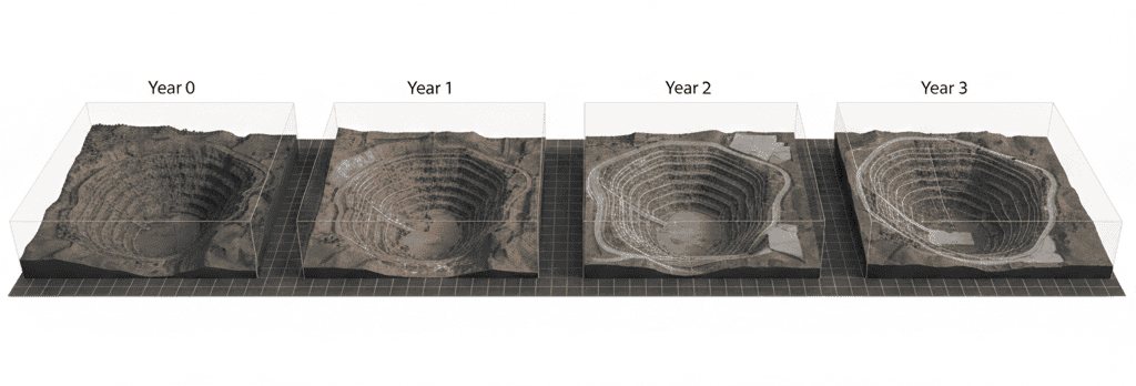
Drone-based operational monitoring enables mining operators to track daily excavation progress with high accuracy and minimal disruption. By capturing frequent aerial data, drones generate up-to-date maps and 3D models that can be compared against planned timelines and production targets. This provides clear visibility into material movement, bench advancement, and haul-road utilization. The resulting insights help identify operational bottlenecks, equipment underutilization, and deviations from planned schedules, enabling management teams to take timely corrective actions. Drone-enabled progress tracking enhances productivity, improves coordination across teams, and supports data-driven decision-making for optimized mine operations.
Process Flow

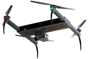
Reference Image

Relevant Outcomes / Deliverables
| Deliverable | Format | Usage |
|---|---|---|
| Progress Maps | GeoTIFF | Daily / weekly monitoring |
| Cut–Fill Analysis | DXF / SHP | Excavation tracking |
| Volume Change Report | CSV / PDF | Production assessment |
| Visual Progress Dashboard | Web / PDF | Management review |
Achievable Accuracy
| Parameter | Typical Accuracy | Depends On |
|---|---|---|
| Volume Change Accuracy | ±3–5% | Survey frequency, surface texture |
| Spatial Accuracy | ±3 cm | RTK/PPK and GCPs |
Key Advantages
- Near real-time visibility of mining progress
- Early identification of operational bottlenecks
- Improved schedule adherence and productivity
- Reduced dependence on manual reporting
Compatible Drone Platforms
- Multirotor UAVs for frequent, high-detail surveys
- Fixed-wing UAVs for large operational areas
Supported Sensors / Payloads
- RGB Cameras
- LiDAR Sensors (optional for complex terrain)
Industry Segments Benefited
- Mining Operations
- Quarry Management
- Project Planning Teams
- Production Managers
No sub drone applications found for this category.