Geological Mapping & Mineral Exploration using Drones
Overview
Drone-based geological mapping enhances mineral exploration by delivering high-resolution aerial imagery and accurate topographic data across large and remote terrains. Drones enable rapid identification of geological features such as faults, fractures, lithological boundaries, and surface mineralization indicators. By integrating multispectral data with elevation models, exploration teams gain actionable insights that support target identification, optimized sampling strategies, and early-stage resource assessment. This approach reduces reliance on extensive ground surveys, accelerates exploration timelines, and improves decision-making during prospect evaluation.
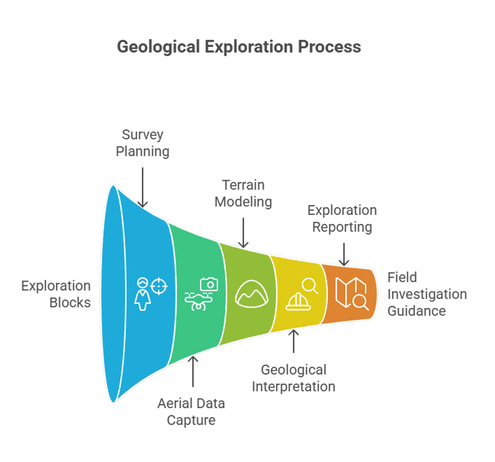
Process Flow
Reference Image

Relevant Outcomes / Deliverables
| Deliverable | Format | Usage |
|---|---|---|
| Orthomosaic Map | GeoTIFF | Geological interpretation |
| DEM / Slope Maps | GeoTIFF | Structural analysis |
| Lineament & Feature Maps | SHP / DXF | Exploration targeting |
| Multispectral Index Maps | GeoTIFF | Mineral indicator analysis |
| Exploration Report | Planning and decision support |
Achievable Accuracy
| Parameter | Typical Accuracy | Depends On |
|---|---|---|
| Spatial Accuracy | ±5 cm | RTK/PPK integration, GCPs |
| Elevation Accuracy | ±5–10 cm | Terrain type and flight altitude |
| Feature Detection | High (relative) | Image resolution and lighting conditions |
Key Advantages
- Rapid assessment of large exploration areas
- Reduced dependency on extensive ground surveys
- Early identification of potential mineralized zones
- Accurate base data for downstream geophysical studies
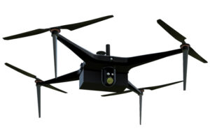
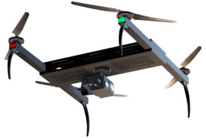
Compatible Drone Platforms
- Multirotor UAVs for detailed, high-resolution surveys
- Fixed-wing UAVs for large-area exploration coverage
Supported Sensors / Payloads
- RGB Cameras
- Multispectral Sensors
- Thermal Sensors (optional)
Industry Segments Benefited
- Mineral Exploration Companies
- Geological Survey Teams
- Mining Consultants
- Research Institutions
Case Study
An early-stage mineral exploration project employed drone-based geological mapping to identify fault zones and surface alteration patterns. This insight helped narrow down drilling targets, significantly reducing initial exploration costs and accelerating decision-making.
No sub drone applications found for this category.