Emergency Response & Disaster Management using Drones
Overview
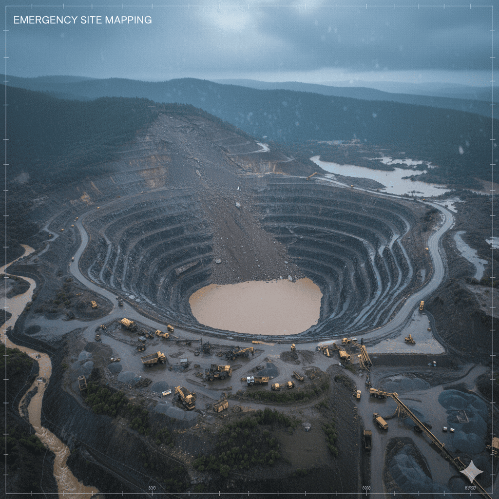
Drone-based emergency response delivers rapid situational awareness during accidents, landslides, flooding, or other critical incidents within mining areas. Immediate drone deployment provides real-time aerial visibility of affected zones, access routes, and potential hazards without exposing personnel to dangerous environments. High-resolution imagery and live video feeds enable faster decision-making, efficient rescue coordination, and accurate damage assessment. This capability significantly improves response times, reduces operational uncertainty, and enhances safety during high-risk emergency scenarios.
Process Flow

Reference Image
Relevant Outcomes / Deliverables
| Deliverable | Format | Usage |
|---|---|---|
| Live Video Feed | RTSP / MP4 | Real-time command support |
| Aerial Damage Map | GeoTIFF | Incident assessment |
| Hazard Zone Map | SHP / PDF | Safety planning |
| Incident Report | Regulatory & internal review |
Achievable Accuracy
| Parameter | Typical Accuracy | Depends On |
|---|---|---|
| Spatial Accuracy | ±5 cm | GNSS accuracy & flight altitude |
| Situational Awareness | Real-time | Communication link quality |
Key Advantages
- Rapid emergency response without risking human life
- Real-time visibility in inaccessible or hazardous areas
- Improved coordination of rescue and mitigation teams
- Accurate post-incident documentation
Compatible Drone Platforms
- Multirotor UAVs for rapid deployment
- Drones with extended endurance and live-stream capability
Supported Sensors / Payloads
- RGB Cameras
- Thermal Cameras (for locating heat signatures)
- High-lumen lighting for low-visibility conditions
Industry Segments Benefited
- Mining Operations
- Disaster Response Teams
- Safety Authorities
- Emergency Management Agencies
No sub drone applications found for this category.