High-Resolution 3D Mapping for Mine Planning & Visualization
Overview
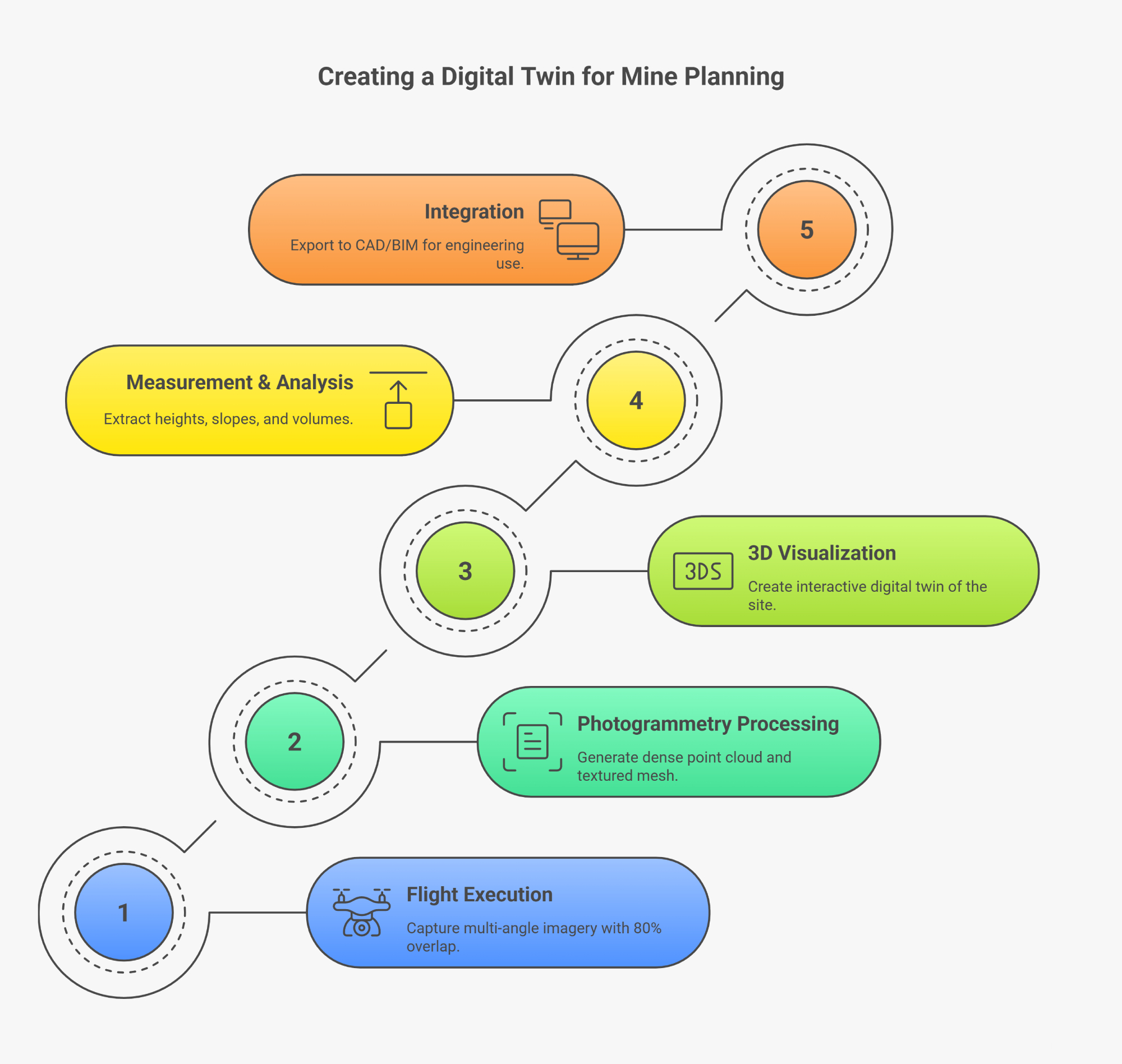
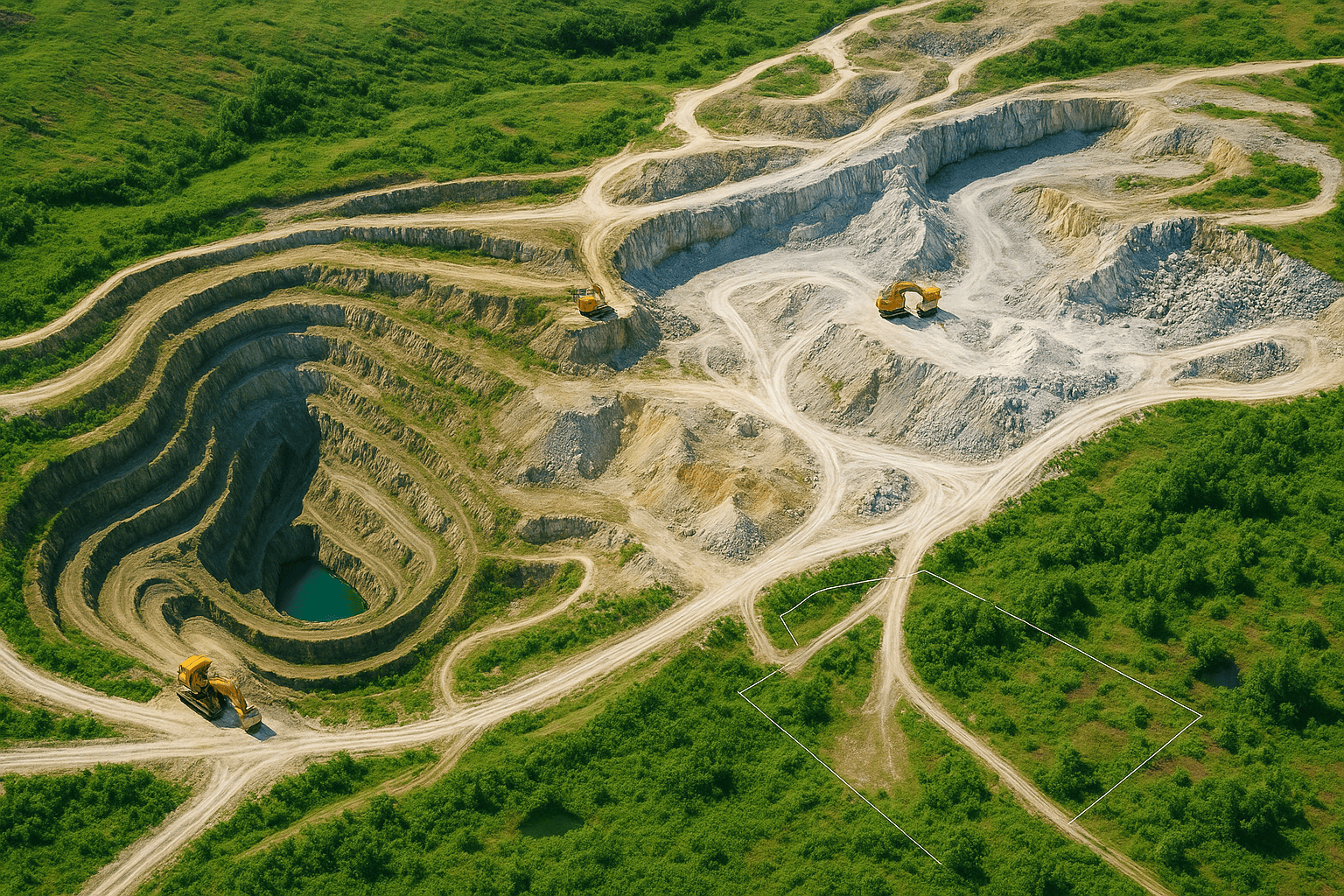
Drone-generated 3D models give engineers an immersive view of the mine environment. By stitching hundreds of aerial images into dense point clouds and meshes, AKSI drones create accurate digital twins for design validation, volume calculation, and safety analysis. 3D visualization supports decision-making for mine expansion, haul road optimization, and regulatory reporting.
Process Flow
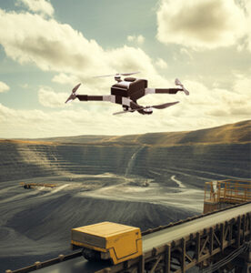
Reference Image

Relevant Outcomes / Deliverables
| Deliverable | Format | Usage |
|---|---|---|
| 3D Model / Mesh | OBJ / FBX / GLTF | Visualization |
| Point Cloud | LAS / PLY | Measurements |
| Orthomosaic | GeoTIFF | Reference mapping |
| Video Fly-Through | MP4 | Progress presentation |
Achievable Accuracy
| Parameter | Typical Accuracy | Depends On |
|---|---|---|
| Dimensional Accuracy | ±2–5 cm | Sensor calibration |
| Visual Accuracy | 1 cm/pixel | Camera resolution & altitude |
Key Advantages
- Realistic digital representation of mine assets
- Improved planning & progress tracking
- Integration with GIS & mine design software
- Ideal for presentations and regulatory submissions
Compatible Platforms
- Multirotor for detail capture
- Fixed-Wing for wide area coverage
Supported Sensors
- RGB / LiDAR payloads
- RTK modules
Industry Segments
- Mining
- Cement Plants
- Quarry Management
- Infrastructure Planning
No sub drone applications found for this category.