Drone-Based Site Surveying for Mining & Quarry Operations
Overview
Drone site surveying replaces slow, hazardous ground surveys with rapid, high-accuracy aerial mapping. By capturing overlapping imagery and GNSS-referenced data, drones deliver centimeter-level terrain information used for planning haul roads, pit design, and infrastructure layout. This approach drastically cuts survey time, increases worker safety, and provides repeatable datasets for operational tracking.
Process Flow
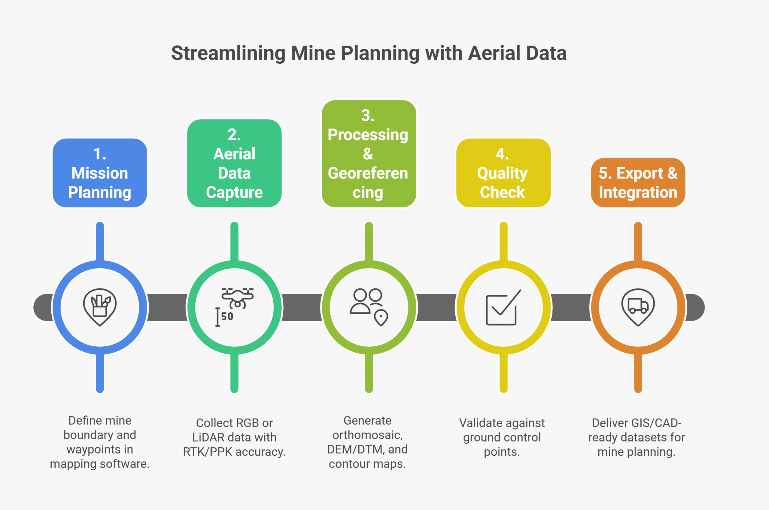
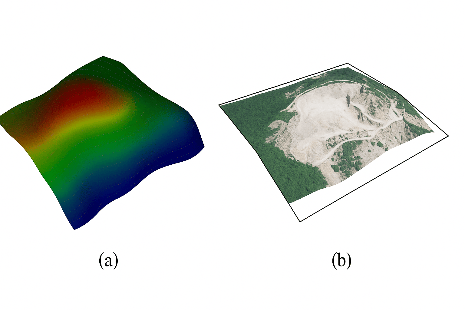
Reference Image
Relevant Outcomes / Deliverables
| Deliverable | Format | Usage |
|---|---|---|
| Orthomosaic Map | GeoTIFF | Base map for design & planning |
| DEM / DTM | GeoTIFF / LAS | Elevation modeling |
| Contour Map | DXF / SHP | Mine layout and cut–fill planning |
| Survey Report | PDF / CSV | Regulatory submission |
Achievable Accuracy
| Parameter | Typical Accuracy | Depends On |
|---|---|---|
| Horizontal Accuracy | ±2–3 cm | RTK calibration & GCPs |
| Vertical Accuracy | ±5 cm | Flight altitude & terrain |
Key Advantages
- 10× faster survey cycles
- Minimal human exposure to hazard zones
- Highly repeatable for progress tracking
- Seamless integration with mine planning software
Compatible Platforms
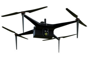
- Multirotor (Skywing90)
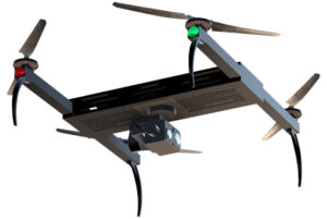
- VTOL (Sentinel) for large sites
Supported Sensors
- RGB 20–45 MP
- LiDAR (optional)
- RTK / PPK modules
Industry Segments
- Mining
- Quarry Operations
- Cement Plants
- Construction Materials Industry
No sub drone applications found for this category.