As-Built Verification & Design Validation using Drones
Overview
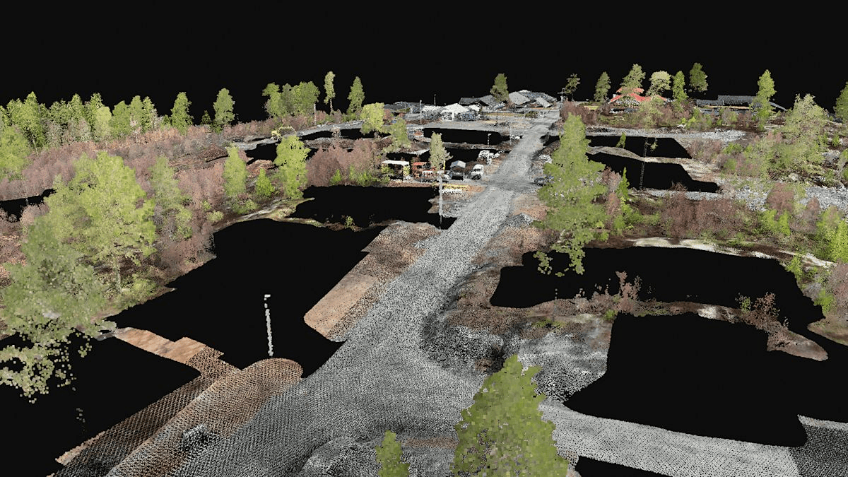
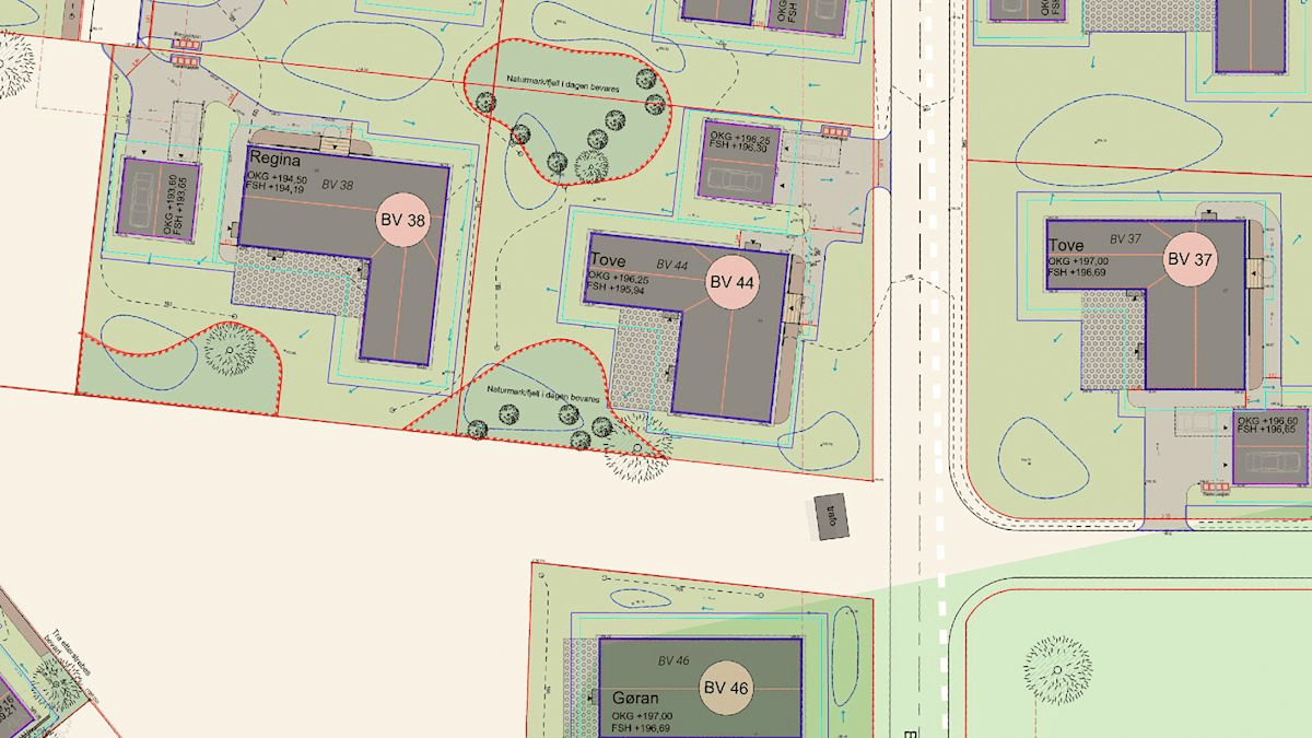
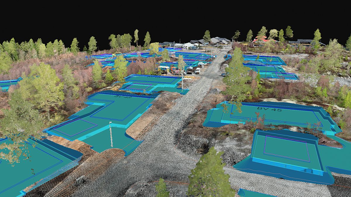
As-built verification ensures that a constructed structure precisely matches its design specifications. High-resolution drone imagery and 3D modeling allow engineers and project managers to compare actual site conditions with CAD or BIM blueprints. This digital validation process identifies deviations, dimensional mismatches, and missing components early—enabling faster rectification, accurate billing, and quality assurance before handover.
Process Flow

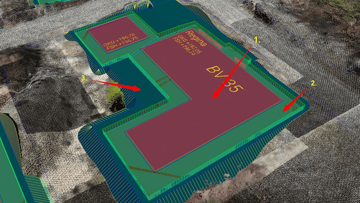
Reference Image
 +
+

Relevant Outcomes / Deliverables
| Deliverable | Format | Usage |
|---|---|---|
| Orthomosaic Map | GeoTIFF | Surface reference for as-built analysis |
| 3D Model / Point Cloud | OBJ / LAS | Deviation measurement and BIM integration |
| Deviation Heat Map | GeoTIFF / PDF | Tolerance assessment |
| QA Report | PDF / CSV | Documentation for handover |
Achievable Accuracy
| Parameter | Typical Accuracy | Depends On |
|---|---|---|
| Horizontal Accuracy | ±2–3 cm | RTK positioning, GCP layout |
| Vertical Accuracy | ±5 cm | Flight altitude, sensor calibration |
| Deviation Detection | ±1–2 cm | Model resolution and alignment |
Key Advantages
- Ensures construction matches design before handover
- Accelerates quality control and compliance checks
- Reduces manual survey effort and human error
- Integrates directly with BIM and CAD systems
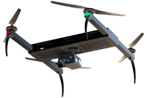
Compatible Drone Platforms
- Multirotor (Skywing90)
- VTOL (Sentinel)
Supported Sensors / Payloads
- High-resolution RGB Cameras (20–48 MP)
- LiDAR (optional for complex geometry)
Industry Segments Benefited
- Infrastructure Developers
- Construction Firms
- Smart City Projects
- Real Estate Consultants