Visual Progress Reports using Drones
Overview
Visual Progress Reports transform raw drone data into professional-grade photo, video, orthomosaic, and 3D model deliverables that clearly communicate project progress to clients, consultants, and stakeholders. This application establishes a single visual source of truth for milestone verification, billing validation, contractor accountability, and investor communication—ensuring measurable and transparent reporting throughout the project lifecycle.
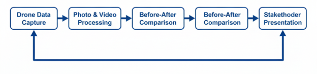
Process Flow
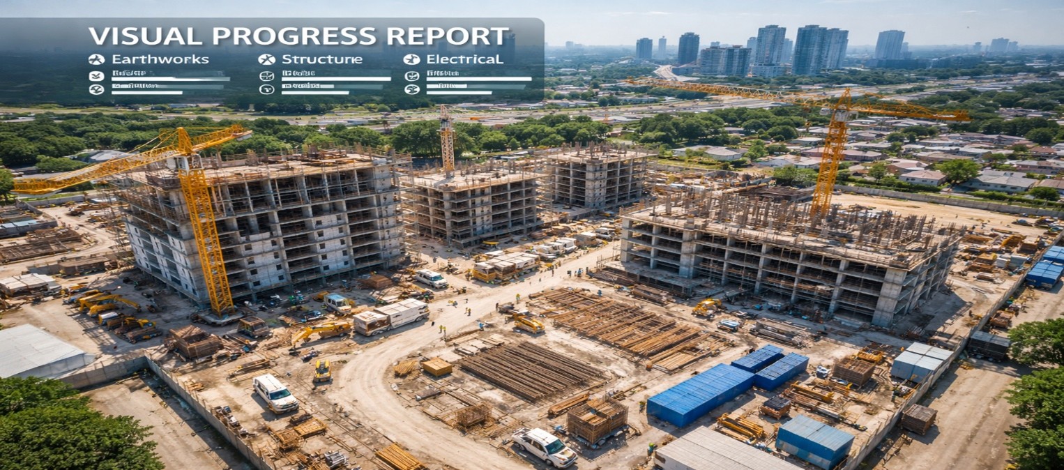
Reference Image
Relevant Outcomes / Deliverables
| Deliverable |
Format |
Usage |
| Before / After Comparisons |
JPG / MP4 |
Milestone validation and stakeholder reporting |
| Orthomosaic Maps |
GeoTIFF |
Accurate surface measurement and progress tracking |
| 3D Models |
OBJ / FBX |
Virtual walkthroughs and volumetric analysis |
| Progress Report |
PDF |
Client submission and billing documentation |
Achievable Accuracy
| Parameter |
Typical Accuracy |
Depends On |
| Horizontal Accuracy |
±1.5–3 cm |
RTK positioning & GCP deployment |
| Vertical Accuracy |
±2.5–5 cm |
Sensor quality & terrain conditions |
Key Advantages
- Clear, measurable project progress visibility
- Faster client approvals and billing cycles
- Improved transparency and stakeholder trust
- Professional and standardized reporting format
- Reduction in disputes and claim conflicts
Compatible Drone Platforms
- Skywing 90
- Sentinel VTOL
- Professional Quadcopters
Supported Sensors / Payloads
- High-Resolution RGB Cameras
- Thermal Cameras (for energy and utility monitoring)
Industry Segments Benefited
- Infrastructure Projects
- Commercial Construction
- Smart Cities
- Energy & Utilities
- Real Estate Development
