LiDAR-Based Terrain & Infrastructure Mapping
Overview
LiDAR-equipped drones deliver ultra-precise 3D mapping by emitting laser pulses that penetrate vegetation and capture millions of elevation points. The resulting point clouds generate detailed 3D models of terrain, buildings, and corridors. Ideal for highway, rail, and powerline mapping, LiDAR scanning overcomes the limitations of traditional optical imaging by accurately capturing vertical structures and dense vegetation.
Process Flow

Reference Image


Figure 1 DTM, DSM and DEM from top to bottom
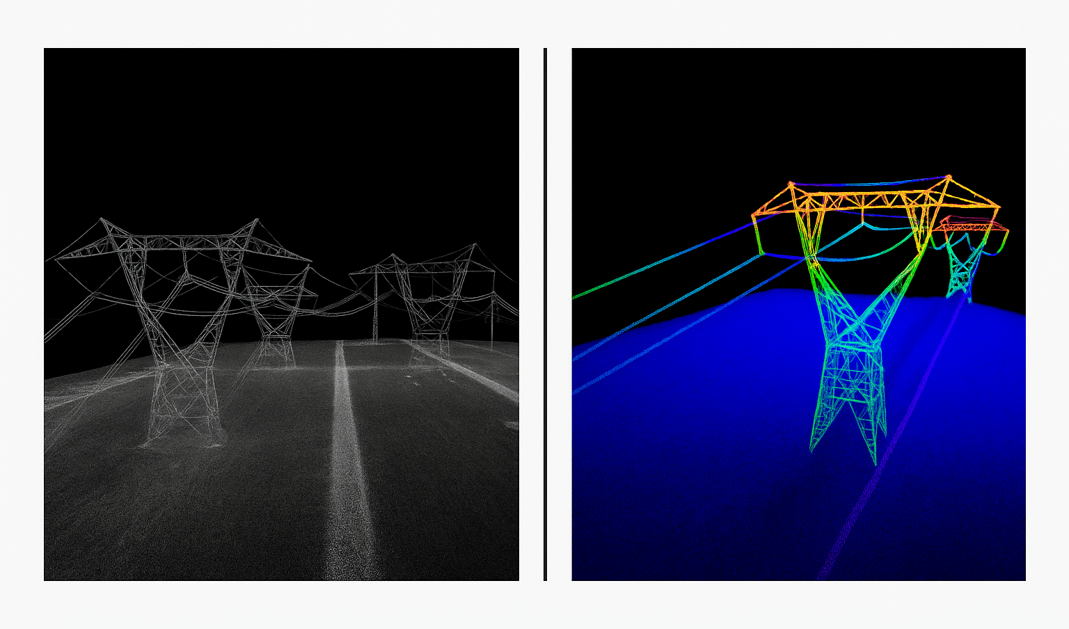
Figure 2: Colored and uncolored point cloud of powerlines
Relevant Outcomes / Deliverables
| Deliverable | Format | Usage |
|---|---|---|
| LiDAR Point Cloud | LAS / PLY | Terrain modeling |
| DEM / DTM | GeoTIFF | Infrastructure alignment |
| 3D Model | OBJ / FBX | Visualization & analysis |
| Feature Extraction | SHP / DXF | Corridor mapping, utilities |
Achievable Accuracy
| Parameter | Typical Accuracy | Depends On |
|---|---|---|
| Horizontal Accuracy | ±3 cm | GNSS precision, IMU calibration |
| Vertical Accuracy | ±5 cm | Flight height, overlap |
| Point Density | 100–500 pts/m² | LiDAR sensor capability |
Key Advantages
- High accuracy even under vegetation
- Fast corridor mapping for linear infrastructure
- Generates dense, classified 3D data
- Enables automated feature extraction
Compatible Drone Platforms
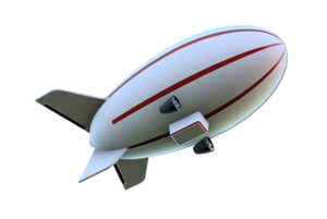
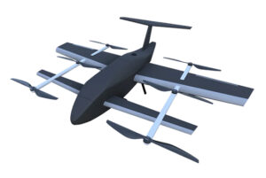
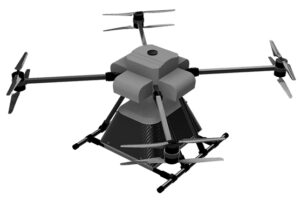
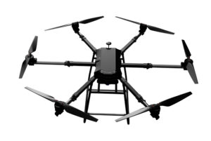
- Heavy-lift multirotor (Skywing90) or VTOL drones (Sentinel)
Supported Sensors / Payloads
- RIEGL miniVUX, Livox Avia, Hesai XT32, or Velodyne series LiDARs
- Integrated RGB for colorized point clouds
Industry Segments Benefited
- Transportation
- Powerline & Pipeline Mapping
- Mining
- Forest Survey
- Urban Planning
Industry Segments Benefited
LiDAR mapping of a 50 km powerline corridor in Gujarat achieved 4 cm vertical accuracy, identifying 23 vegetation encroachments and optimizing trimming schedules.