Banner")
Aerial Seeding using Drones
Overview
Aerial seeding using drones enables efficient and rapid dispersal of seeds over large or hard-to-access areas, offering a modern alternative to traditional sowing methods. This approach is especially valuable for pasture rejuvenation, cover cropping, reforestation, and restoration of degraded lands. Equipped with GPS navigation and onboard sensors, drones precisely release seed balls or granules, minimizing seed wastage and improving germination rates. As drones operate without ground contact, soil compaction is avoided, preserving soil structure and health. Aerial seeding is eco-friendly, cost-effective, and capable of covering challenging terrains quickly, while supporting sustainable agriculture through optimized seed distribution based on real-time field data.
Process Flow
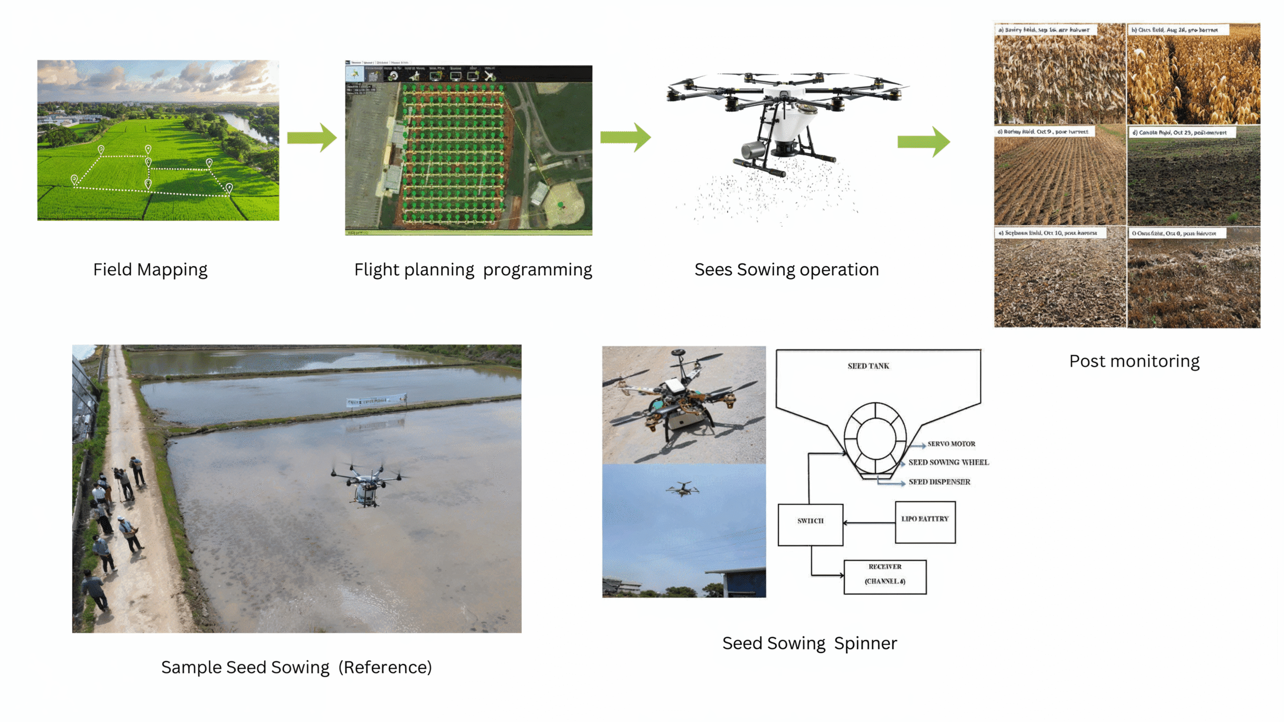
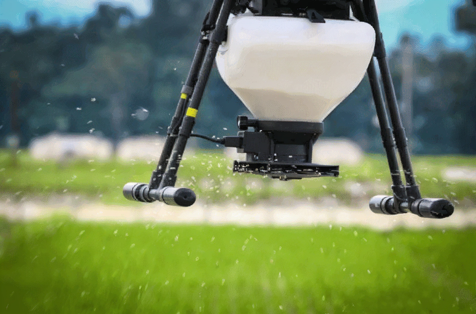
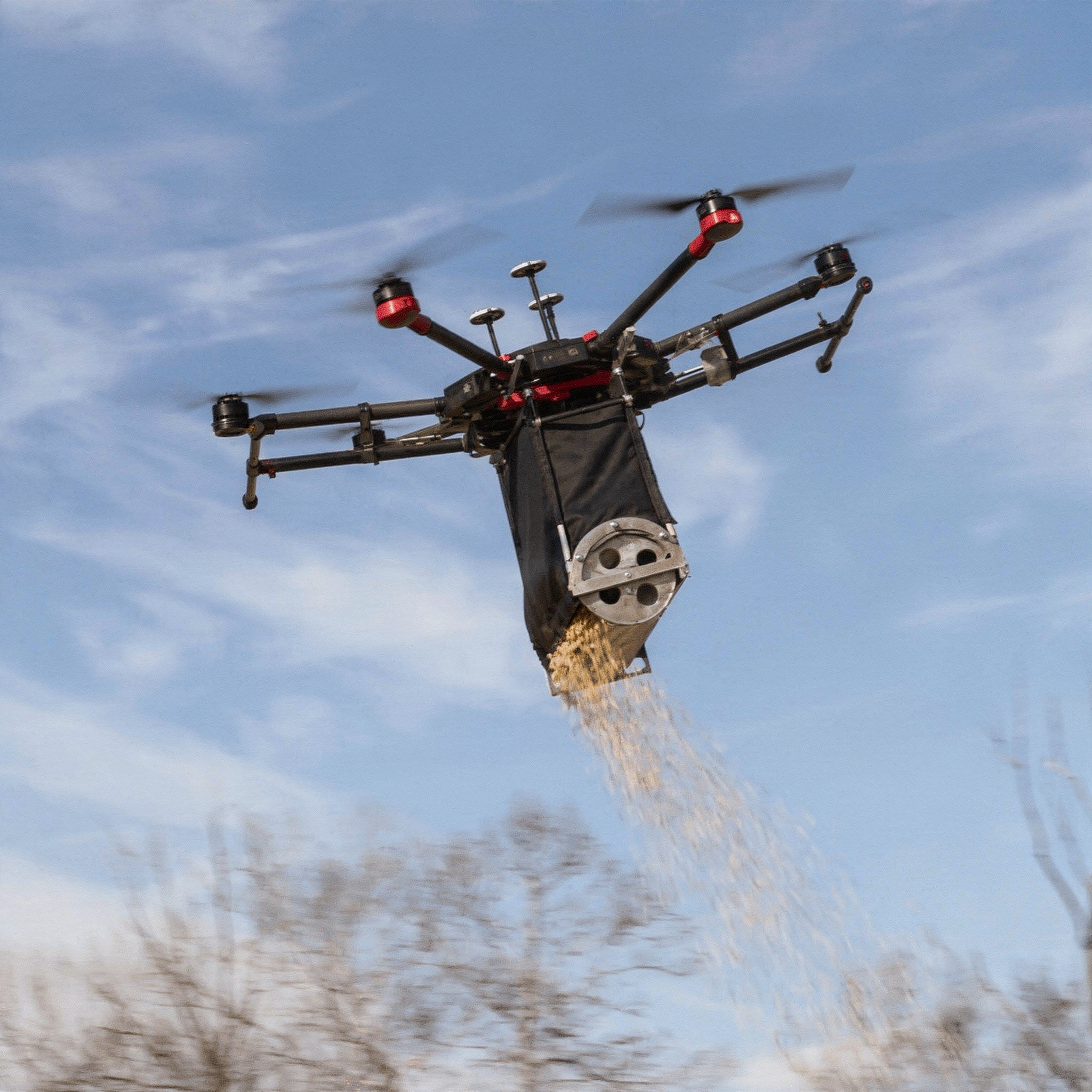
The flow process of seed sowing begins with Field Mapping, where the agricultural field is surveyed to define boundaries and terrain conditions. This data is used for Flight Planning and Programming, where an optimized flight path is created using mission planner software to ensure complete field coverage. The drone, equipped with a Seed Sowing Mechanism consisting of a seed tank, servo motor, and spinner disc, then performs the Sowing Operation. The spinner disc helps distribute the seeds uniformly across the ground surface, though not in perfect alignment. This slight randomness in seed placement is beneficial for broadcast or non-row crops, where even but non-linear distribution improves natural spacing and germination.Finally, Post Monitoring is carried out to evaluate germination, crop growth, and sowing efficiency. This entire process enhances precision, reduces labor, and ensures effective sowing.
Reference Image
Relevant Outcomes / Deliverables
| Deliverable | Usage |
|---|---|
| Uniform Seed Distribution | Consistent and precise seed placement across the target area |
| Reduced Labor and Time | Faster sowing operations with minimal human effort |
| Coverage Data and Maps | Flight logs, seeding maps, and area coverage reports for documentation |
| Improved Germination Efficiency | Optimized seed spacing enhances crop establishment and yield |
| Accessibility to Difficult Terrains | Effective seeding in hilly, flooded, or inaccessible regions |
| Sustainable Land Restoration | Supports reforestation, soil conservation, and ecological recovery |
Achievable Accuracy
| Parameter | Typical Accuracy | Depends On |
|---|---|---|
| Positioning Accuracy | ±5–10% | RTK / GPS setup |
| Seeder Distribution | ±5–10% | Variation across the target area |
| Sensor Accuracy | ±2–3% | Environmental conditions |
Key Advantages
- Enables rapid sowing over large areas in minimal time
- Ensures consistent seed spread for improved germination
- Reduces dependence on manual planting and field labor
- Operates effectively in hilly, marshy, or hazardous terrains
- GPS-guided flight and calibrated dispensers enhance accuracy
- Lowers operational and manpower costs compared to traditional methods
- Minimizes soil compaction and surface disturbance
- Suitable for both small farms and large-scale reforestation projects
- Provides real-time mapping and seeding reports for monitoring
- Supports sustainable agriculture, reforestation, and soil conservation initiatives
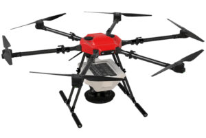
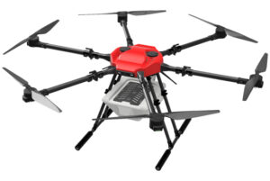
Compatible Drone Platforms
- Aranya
Supported Sensors / Payloads
- 10–15 kg payload capacity
- Seed dispenser module
- Hopper with variable flow control
- GNSS with terrain-following sensor
Industry Segments Benefited
- Forestry & Environmental Conservation
- Agriculture Sector
- Government & Public Sector
- Agri-Tech & Drone Service Providers
- Research and Educational Institutions