Archaeology & Cultural Heritage
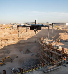
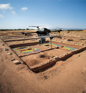
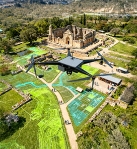
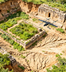
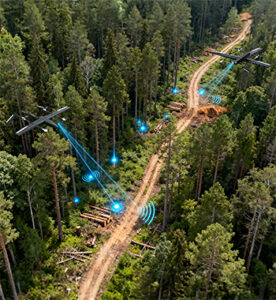
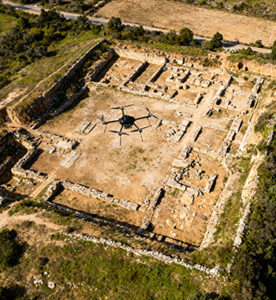
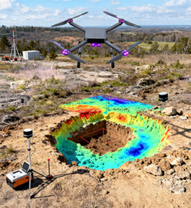
Preserving history requires precision, care, and technology that can uncover without disturbing. Drones are transforming archaeology and cultural heritage conservation by providing a non-invasive, efficient means to document, survey, and monitor ancient sites. From mapping excavation areas to creating 3D reconstructions of historical monuments, drones enable archaeologists to access hard-to-reach locations, detect hidden structures, and monitor environmental impact with exceptional accuracy.
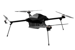
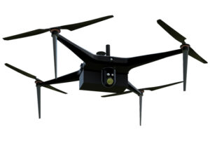
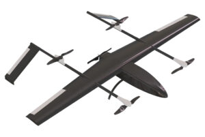
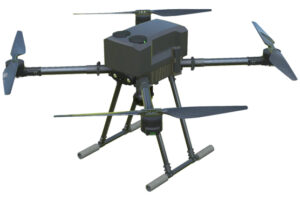
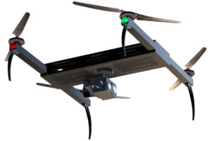
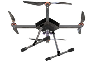
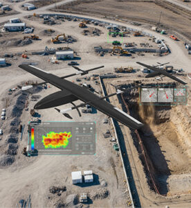
At AKSI Group, our aerial systems combine high-resolution imaging, LiDAR scanning, and AI-driven analytics to support researchers and conservationists in preserving the past for future generations.
Key Features
High-Resolution Aerial Imaging
Captures detailed topographic data and visual imagery for precise archaeological site documentation.
LiDAR & Multispectral Mapping
Reveals hidden structures, underground formations, and buried ruins without physical excavation.
3D Modeling & Reconstruction
Creates accurate 3D replicas of monuments and artifacts for digital preservation and study.
Non-Invasive Surveying
Reduces the need for ground disturbance while providing comprehensive spatial data.
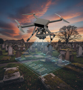
Geospatial Data Integration
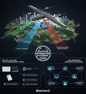
Integrates with GIS and heritage management systems for mapping and comparative historical analysis.
Environmental Monitoring
Tracks erosion, vegetation, and weather effects on archaeological sites for proactive conservation.
AI-Driven Site Analysis
Uses artificial intelligence to identify potential dig zones and classify terrain features.
Safe Access to Remote Areas
Enables exploration and data collection from fragile or inaccessible historical locations.
Key benefits
- Aerial mapping and 3D modeling of archaeological sites
- Detection of buried structures and ancient settlements
- Environmental monitoring of heritage monuments
- Historical landscape analysis and preservation planning
- Digital archiving of monuments and artifacts
- Disaster assessment and heritage protection post natural events
- Tourism enhancement through virtual site visualization
- Integration with GIS and cultural heritage databases